
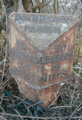
Milepost At National Grid Reference So577403, milestone in Dormington, County of Herefordshire, UK
Ort: Dormington
Gründung: 19. Jahrhundert
GPS Koordinaten: 52.05937,-2.61829
Neueste Aktualisierung: 5. März 2025 um 22:36

Stoke Edith House
2.8 km
Longworth Roman Catholic Chapel
905 m
The New Inn
1.9 km
The Moon Inn
3 km
Church of St Mary
2.7 km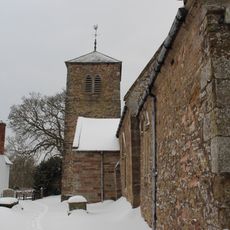
Church of the Holy Rood
2.9 km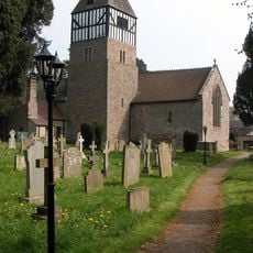
Church of St Andrew
2.9 km
Church of St Peter
620 m
Church of St Peter
2.7 km
Church of St John Baptist
1.2 km
The Old Post Office
3 km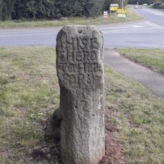
The White Stone And Fragment Of Base Immediately To The East
2.8 km
Convent Of Our Lady Of Charity
910 m
Sufton Court
2.4 km
Mordiford Bridge
2.9 km
Longworth Hall
1.5 km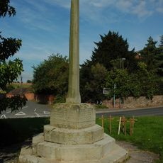
Lugwardine War Memorial
2.7 km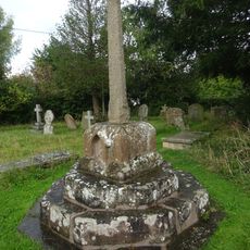
Churchyard cross in St Andrew's churchyard
2.9 km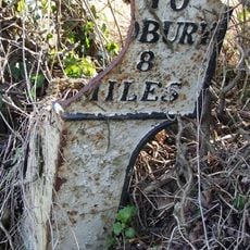
Milepost At So593246
1.6 km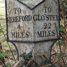
Milepost At S0568375
3 km
Churchyard Cross
2.7 km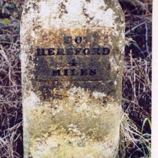
Mile Stone About 250 Yards East-North-East Of The White Stone
3 km
Churchyard cross in Holy Rood churchyard
2.9 km
The Steps Farmhouse
2.5 km
Guidestone, Mordiford Bridge
2.9 km
Milestone, Whitestone House, White Stone Cross
2.7 km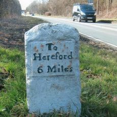
Milestone, Castle Farm at SO59224275
2.9 km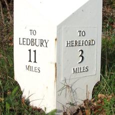
Milepost, opp church, jct with Lumber Lane
2.7 kmBewertungen
Diesen Ort besucht? Tippe auf die Sterne, um ihn zu bewerten und deine Erfahrung oder Fotos mit der Community zu teilen! Jetzt ausprobieren! Sie können jederzeit kündigen.
Entdecke verborgene Schätze auf jedem Abenteuer!
Von charmanten kleinen Cafés bis zu versteckten Aussichtspunkten – entfliehe dem Touristentrubel und finde Orte, die wirklich zu dir passen. Unsere App macht's dir leicht: Sprachsuche, clevere Filter, optimierte Routen und echte Geheimtipps von Reisenden weltweit. Jetzt runterladen und das Abenteuer mobil erleben!

Ein neuer Ansatz für touristische Entdeckungen❞
— Le Figaro
Alle Orte, die eine Entdeckung wert sind❞
— France Info
Ein maßgeschneiderter Ausflug mit nur wenigen Klicks❞
— 20 Minutes