
Road Bridge Over Railway, road bridge in Broomhaugh and Riding, Northumberland, UK
GPS Koordinaten: 54.94773,-1.96940
Neueste Aktualisierung: 23. September 2025 um 17:56
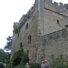
Bywell Castle
2.9 km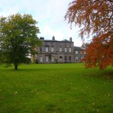
Bywell Hall
2.6 km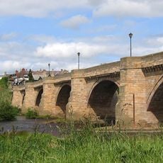
Corbridge Bridge
4.2 km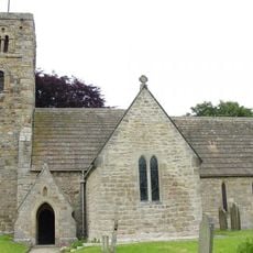
St Andrew's Church, Bywell
2.8 km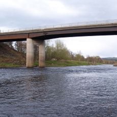
Styford Bridge
1.1 km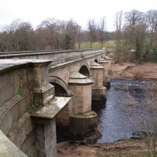
Bywell Bridge
3.2 km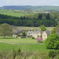
Hindley Hall
3.8 km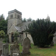
Church of St John
3.1 km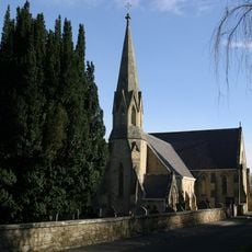
Church of St James
251 m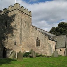
Church of St Peter
2.9 km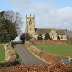
Church of St James
4.2 km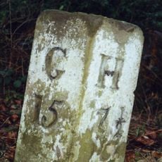
Milestone 200 Metres East Of Broomley Road Junction
2.7 km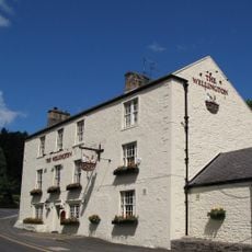
Wellington Inn
228 m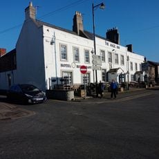
The Angel Inn
4.2 km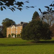
Styford Hall
707 m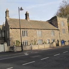
Low Hall
4.1 km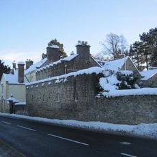
The Manor House And Wall Attached To Rear
685 m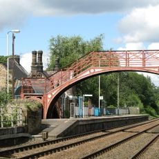
Footbridge at Riding Mill railway station
175 m
East Portal Of Farnley Scar Tunnel
2.6 km
Monksholme
4.1 km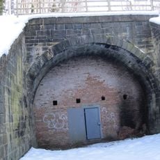
West Portal Of Farnley Scar Tunnel
2.7 km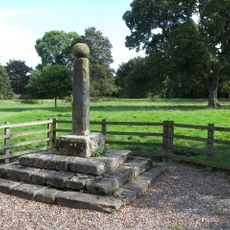
Village Cross
2.8 km
Milepost 90 Metres East Of Styford Lodge
2.3 km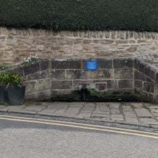
Hydrants And Trough At Junction With Orchard Crescent
4.2 km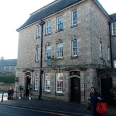
Lloyds Bank
4.2 km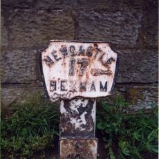
Milepost, approach on S side of bridge
4.1 km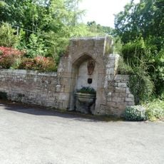
Drinking Fountain 60 Metres South-East Of Church Of St. James
228 m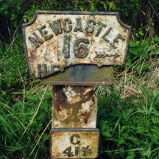
Milepost, Howden Dene, near Cricket Plantation
3.3 kmBewertungen
Diesen Ort besucht? Tippe auf die Sterne, um ihn zu bewerten und deine Erfahrung oder Fotos mit der Community zu teilen! Jetzt ausprobieren! Sie können jederzeit kündigen.
Entdecke verborgene Schätze auf jedem Abenteuer!
Von charmanten kleinen Cafés bis zu versteckten Aussichtspunkten – entfliehe dem Touristentrubel und finde Orte, die wirklich zu dir passen. Unsere App macht's dir leicht: Sprachsuche, clevere Filter, optimierte Routen und echte Geheimtipps von Reisenden weltweit. Jetzt runterladen und das Abenteuer mobil erleben!

Ein neuer Ansatz für touristische Entdeckungen❞
— Le Figaro
Alle Orte, die eine Entdeckung wert sind❞
— France Info
Ein maßgeschneiderter Ausflug mit nur wenigen Klicks❞
— 20 Minutes