
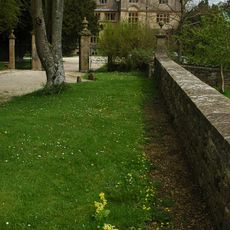
Cartshed To North Of Park Corner Farmhouse, carriage house in Duntisbourne Rouse, Cotswold, Gloucestershire, UK
Ort: Duntisbourne Rouse
GPS Koordinaten: 51.73750,-2.05797
Neueste Aktualisierung: 24. April 2025 um 06:11
Edgeworth Manor
2 km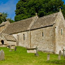
St Michael's Church, Duntisbourne Rouse
3 km
Alfred's Hall (at NGR SO972031)
1.7 km
Daneway House
2.1 km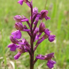
Daneway Banks SSSI
2.5 km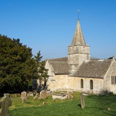
St Kenelm's Church
1.6 km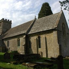
Church of St Mary
2.1 km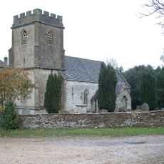
Church of the Holy Rood
3.3 km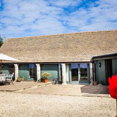
Cirencester Park
1.8 km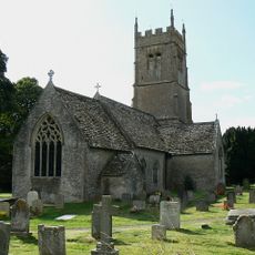
Church of St Matthew
3.5 km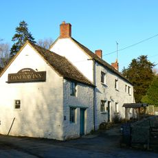
Daneway Inn
2.4 km
Barn To North West Of Church Farmhouse
3.5 km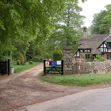
Gloucester Lodge
1.6 km
Pinbury Park
848 m
Ivy Lodge At Ngr So 990o26 And Attached Farmbuildings And Wall
3.4 km
Footbridge to east of ford
3.1 km
22, Duntisbourne Leer
3.5 km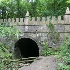
North Entrance To Sapperton Canal Tunnel
2 km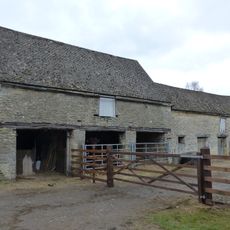
Cartshed and granary with attached cowhouse across road and to south east of Manor Farmhouse
3.2 km
Barn to south of Manor Farmhouse
3.2 km
Churchyard cross in St Mary's churchyard
2.1 km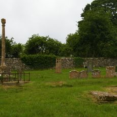
Churchyard cross in St Michael's churchyard
3 km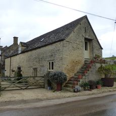
Stables to south east of Manor Farmhouse
3.2 km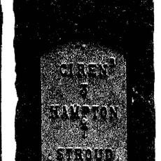
Milestone
3 km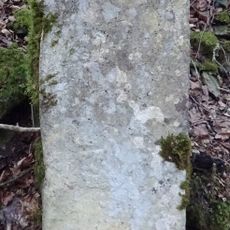
Milestone, Hen Wood?
1.1 km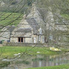
Manor Farmhouse
3.2 km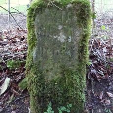
Milestone, Tunley
2.5 km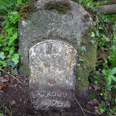
Milestone, Three Mile Bottom; opp. Four Mile Lodge"
2.3 kmBewertungen
Diesen Ort besucht? Tippe auf die Sterne, um ihn zu bewerten und deine Erfahrung oder Fotos mit der Community zu teilen! Jetzt ausprobieren! Sie können jederzeit kündigen.
Entdecke verborgene Schätze auf jedem Abenteuer!
Von charmanten kleinen Cafés bis zu versteckten Aussichtspunkten – entfliehe dem Touristentrubel und finde Orte, die wirklich zu dir passen. Unsere App macht's dir leicht: Sprachsuche, clevere Filter, optimierte Routen und echte Geheimtipps von Reisenden weltweit. Jetzt runterladen und das Abenteuer mobil erleben!

Ein neuer Ansatz für touristische Entdeckungen❞
— Le Figaro
Alle Orte, die eine Entdeckung wert sind❞
— France Info
Ein maßgeschneiderter Ausflug mit nur wenigen Klicks❞
— 20 Minutes