
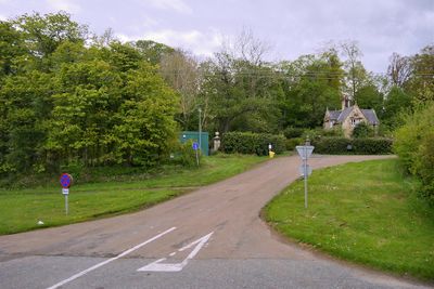
Twizell North Lodge, architectural structure in Adderstone with Lucker, Northumberland, UK
GPS Koordinaten: 55.55628,-1.79046
Neueste Aktualisierung: 8. März 2025 um 23:07
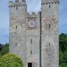
Preston Tower
6.3 km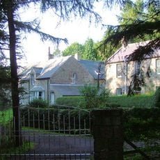
Adderstone Hall
1.4 km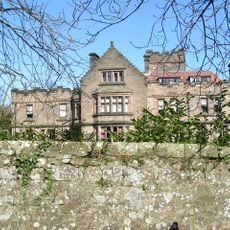
Ellingham Hall, Northumberland
5.2 km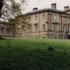
Belford Hall
5.5 km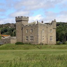
Westhall
5.7 km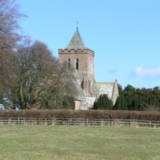
Church of St Maurice
5.5 km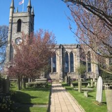
Church of St Mary, Belford
5.4 km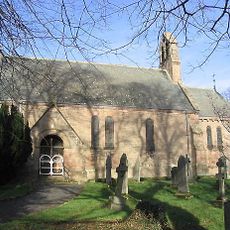
Church of St Hilda
2.2 km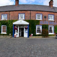
The Blue Bell Hotel
5.3 km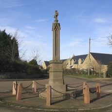
Lucker War Memorial
2.2 km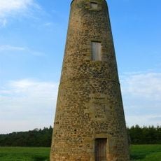
Spindlestone Ducket
4.5 km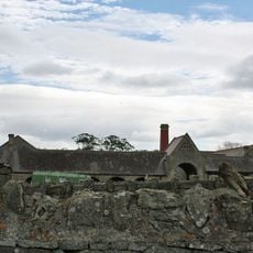
Farmbuildings Circa 50 Yards East Of Spindlestone Farmhouse
4.4 km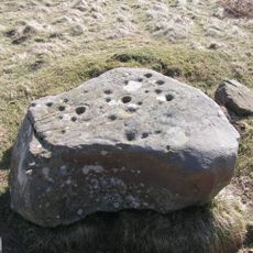
Cup and ring marked rocks on Wandylaw Moor, 1km west of Wandylaw
4.1 km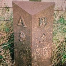
Milepost Circa 200 Yards South Of Newstead Road End
3.2 km
Waiting Shed And Up Platform At Chathill Station
5.7 km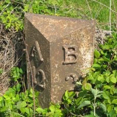
Milepost Circa 100 Yards South Of Junction With B6348
1.5 km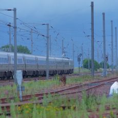
Belford Station
4.5 km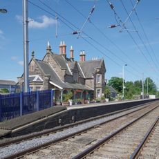
Chathill Station And Down Platform
5.7 km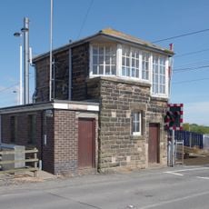
Signal Box At Chathill Station
5.8 km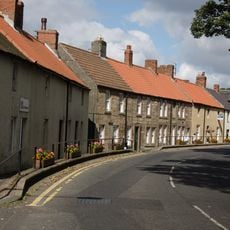
38-46, High Street
5.2 km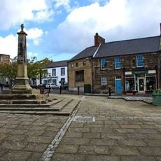
Market Cross In Front Of Blue Bell Hotel
5.3 km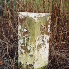
Milepost Circa 100 Yard South East Of Twizell North Lodge
116 m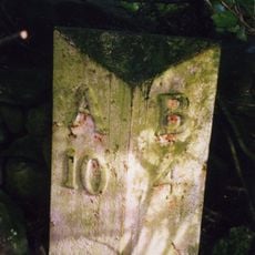
Milepost, Rayheugh in loop of old road
1.7 km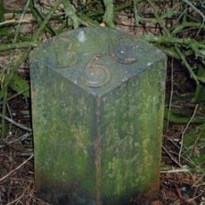
Milepost, Warenford
696 m
Paddock Walls And Dovecote Circa 60 Yards North Of Lucker Hall
2.1 km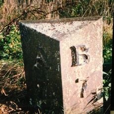
Milepost, Brownieside
6.3 km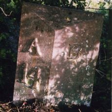
Milepost, 14m S of Meadows Farm entrance
4.6 km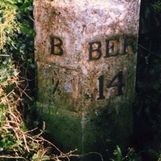
Milepost, North Bank
6 kmBewertungen
Diesen Ort besucht? Tippe auf die Sterne, um ihn zu bewerten und deine Erfahrung oder Fotos mit der Community zu teilen! Jetzt ausprobieren! Sie können jederzeit kündigen.
Entdecke verborgene Schätze auf jedem Abenteuer!
Von charmanten kleinen Cafés bis zu versteckten Aussichtspunkten – entfliehe dem Touristentrubel und finde Orte, die wirklich zu dir passen. Unsere App macht's dir leicht: Sprachsuche, clevere Filter, optimierte Routen und echte Geheimtipps von Reisenden weltweit. Jetzt runterladen und das Abenteuer mobil erleben!

Ein neuer Ansatz für touristische Entdeckungen❞
— Le Figaro
Alle Orte, die eine Entdeckung wert sind❞
— France Info
Ein maßgeschneiderter Ausflug mit nur wenigen Klicks❞
— 20 Minutes