
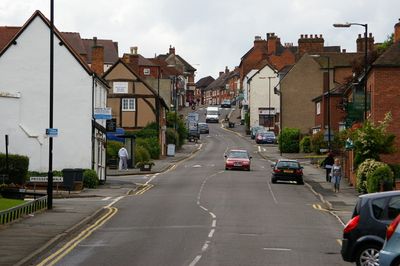
Coleshill, Kleinstadt im Vereinigten Königreich
Ort: North Warwickshire
GPS Koordinaten: 52.49900,-1.70800
Neueste Aktualisierung: 9. März 2025 um 03:55
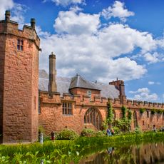
Maxstoke Castle
2.5 km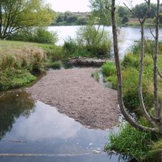
Babbs Mill Lake
3.7 km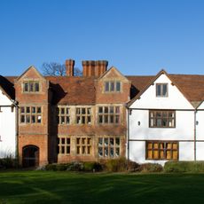
Sheldon Hall
4 km
Blyth Hall
1.5 km
Church of St Peter and St Paul, Coleshill
200 m
Maxstoke Priory
4.2 km
Our Lady Help of Christians Church
4.7 km
The Pumping Station, Whitacre Waterworks
2.8 km
Hemlingford
2.8 km
St Peter and St Paul's Church, Water Orton
3 km
Church of St Michael and All Angels
4.3 km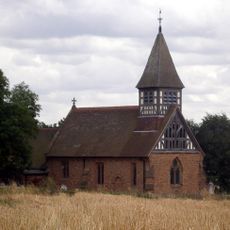
Church of St Bartholomew
4.9 km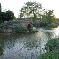
Little Packington Bridge
4.3 km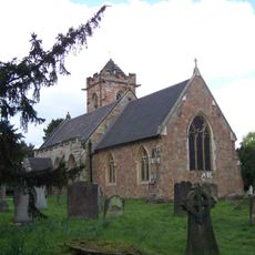
Church of St John the Baptist
3.7 km
Remains of Tower and Walls of Monastic Church Approximately 250 Metres South of Priory Farmhouse
4.2 km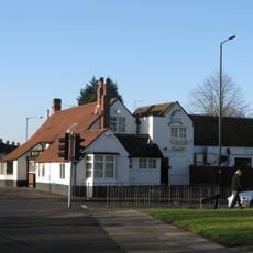
The White Hart Public House
4 km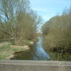
Blyth Bridge (That Part In Coleshill Civil Parish)
1.4 km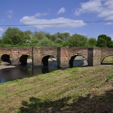
Water Orton Bridge
3.4 km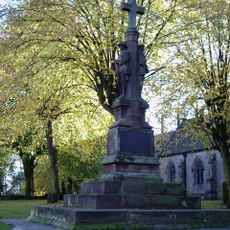
Coleshill War Memorial, Warwickshire
172 m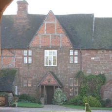
Priory Farmhouse
4.2 km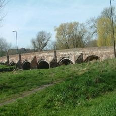
Cole Bridge
468 m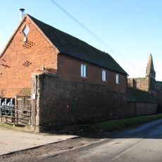
Outer Gatehouse and Attached Precinct Walls and Barn 200 Metres North of Priory Farmhouse
4.1 km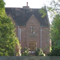
The Old Rectory
4.1 km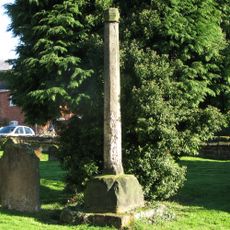
Churchyard cross, St Michael's churchyard
4.3 km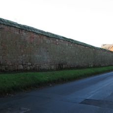
Precinct Wall, East of Outer Gatehouse and Bounding Churchyard of St Michael and All Saints on the West
4.2 km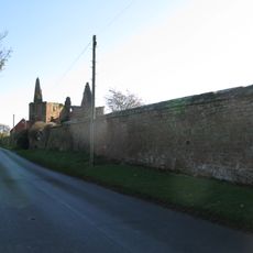
Precinct Wall, 60 Metres Northwest of Old Rectory
4 km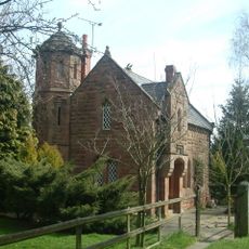
Blythe Lodge
1.6 km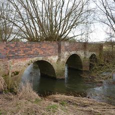
Blyth Hall Packhorse Bridge
2.3 kmBewertungen
Diesen Ort besucht? Tippe auf die Sterne, um ihn zu bewerten und deine Erfahrung oder Fotos mit der Community zu teilen! Jetzt ausprobieren! Sie können jederzeit kündigen.
Entdecke verborgene Schätze auf jedem Abenteuer!
Von charmanten kleinen Cafés bis zu versteckten Aussichtspunkten – entfliehe dem Touristentrubel und finde Orte, die wirklich zu dir passen. Unsere App macht's dir leicht: Sprachsuche, clevere Filter, optimierte Routen und echte Geheimtipps von Reisenden weltweit. Jetzt runterladen und das Abenteuer mobil erleben!

Ein neuer Ansatz für touristische Entdeckungen❞
— Le Figaro
Alle Orte, die eine Entdeckung wert sind❞
— France Info
Ein maßgeschneiderter Ausflug mit nur wenigen Klicks❞
— 20 Minutes