
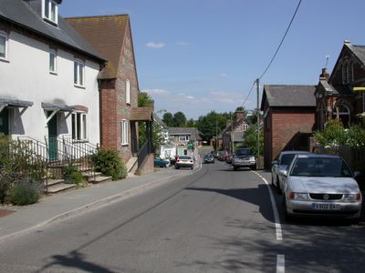
Sixpenny Handley, village in Dorset, United Kingdom
Ort: Sixpenny Handley and Pentridge
GPS Koordinaten: 50.95480,-2.00730
Neueste Aktualisierung: 5. März 2025 um 15:45
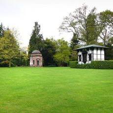
Larmer Tree Gardens
5.3 km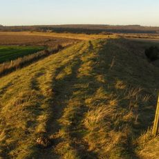
Bokerley Dyke
5 km
Wor Barrow and two bowl barrows on Handley Down
1.6 km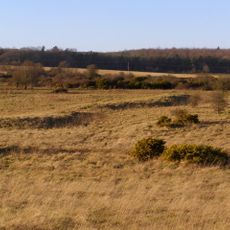
Bronze Age and Romano-British enclosure on Martin Down, east of Bokerley Junction
5.5 km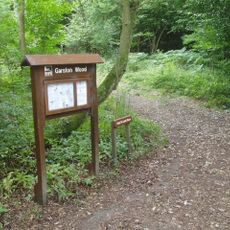
Garston Wood
2.2 km
Iron Age and Romano-British settlement remains on Woodcutts Common, 850m south east and 845m SSE of Arundell Cottages
3.3 km
Iron Age and Romano-British settlement remains on Rotherley Down
5.2 km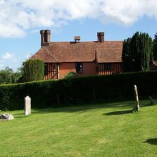
King John's House, Tollard Royal
5.2 km
Rotherley Downs
5.5 km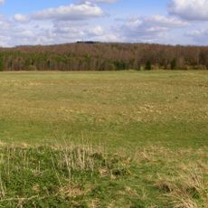
Group of round barrows on Oakley Down
2.3 km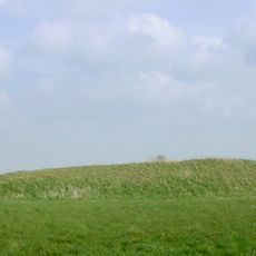
Long Barrows von Gussage Down
3.6 km
Church of St Lawrence
4.4 km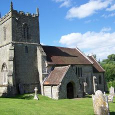
Church of St Peter Ad Vincula
5.2 km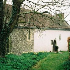
Church of St Andrew
3.6 km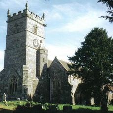
Church of St Mary
52 m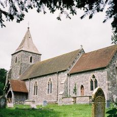
Church of St Rumbold
3.8 km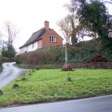
Tollard Royal And Rushmore War Memorial
5.2 km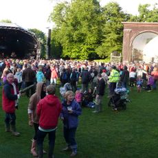
Singing Theatre
5.3 km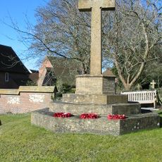
Sixpenny Handley War Memorial
21 m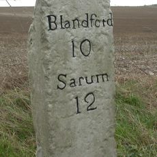
Milestone
1.6 km
Milestone
4.6 km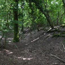
Camp in Mistlebury Wood
2.2 km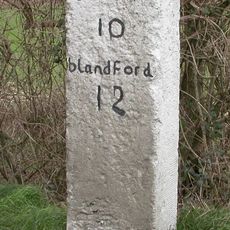
Milestone
3.8 km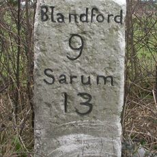
Milestone
2 km
Packhorse Bridge Approximately 35M South Of Ryall's Farmhouse.
4.9 km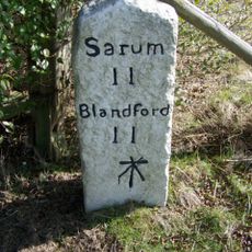
Milestone, just SW of Yew Trees Garage;
2.5 km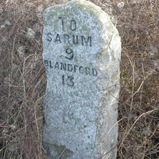
Milestone, Vernditch Chase
5.3 km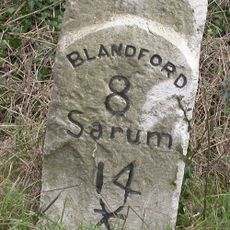
Milestone, 400m SW of entrance road to Chapel Down farm, NE of Cashmoor
3.2 kmBewertungen
Diesen Ort besucht? Tippe auf die Sterne, um ihn zu bewerten und deine Erfahrung oder Fotos mit der Community zu teilen! Jetzt ausprobieren! Sie können jederzeit kündigen.
Entdecke verborgene Schätze auf jedem Abenteuer!
Von charmanten kleinen Cafés bis zu versteckten Aussichtspunkten – entfliehe dem Touristentrubel und finde Orte, die wirklich zu dir passen. Unsere App macht's dir leicht: Sprachsuche, clevere Filter, optimierte Routen und echte Geheimtipps von Reisenden weltweit. Jetzt runterladen und das Abenteuer mobil erleben!

Ein neuer Ansatz für touristische Entdeckungen❞
— Le Figaro
Alle Orte, die eine Entdeckung wert sind❞
— France Info
Ein maßgeschneiderter Ausflug mit nur wenigen Klicks❞
— 20 Minutes