
Atlow, Gemeinde in der englischen Grafschaft Derbyshire
Ort: Derbyshire Dales
Grenzt an: Hognaston, Hulland, Bradley, Kniveton
GPS Koordinaten: 53.03700,-1.65700
Neueste Aktualisierung: 7. März 2025 um 18:56
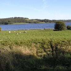
Carsington Water
3 km
Carsington Water Visitor Centre
2.9 km
St Michael and All Angels Church, Kniveton
2.6 km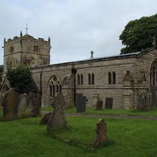
Church of St Bartholomew
1.7 km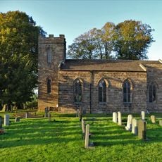
Christ Church
2.4 km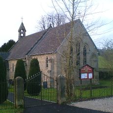
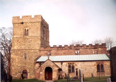
Church of St Phillip and St James
233 m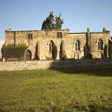
Church of All Saints
3 km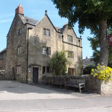
The Barley Mow Inn
3.7 km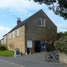
Outbuildings And Former Outbuildings To The West Of The Barley Mow Inn
3.7 km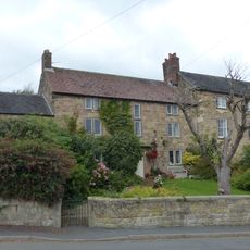
The Manor House
3.9 km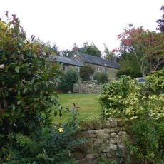
Upperfield Farmhouse And Adjoining Barn To The West
3.1 km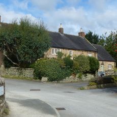
Buxton Hall Farmhouse
3.8 km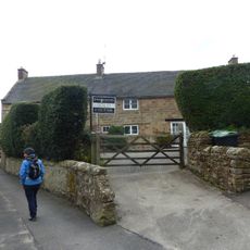
Rose Bank
3.9 km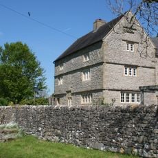
Netherton Hall
3.6 km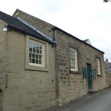
Methodist Sunday School
3.9 km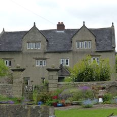
Woodhead Farm
1.4 km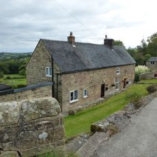
Farmhouse And Attached Outbuildings To The South Of Well Banks
3.9 km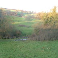
Atlow moated site, enclosures and causeway
568 m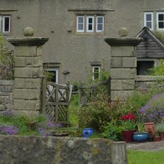
Gate piers at Woodhead Farm
1.4 km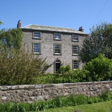
Park Farmhouse
3.6 km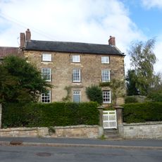
Northfield Farmhouse And Garden Wall
3.9 km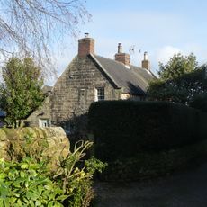
Prospect House
3.9 km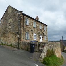
Well Banks (at the junction of Well Banks and Nether Lane)
3.9 km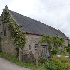
Barn at Woodhead Farm
1.4 km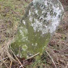
Milestone, Hognaston Winn
2.1 km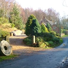
Blackwall Farmhouse
2.7 km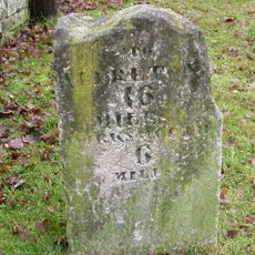
Milestone, opp. parish church entrance
2.6 km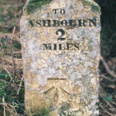
Milestone, S of the Ketch PH, NE of Rowfield Lane jct
3.3 kmBewertungen
Diesen Ort besucht? Tippe auf die Sterne, um ihn zu bewerten und deine Erfahrung oder Fotos mit der Community zu teilen! Jetzt ausprobieren! Sie können jederzeit kündigen.
Entdecke verborgene Schätze auf jedem Abenteuer!
Von charmanten kleinen Cafés bis zu versteckten Aussichtspunkten – entfliehe dem Touristentrubel und finde Orte, die wirklich zu dir passen. Unsere App macht's dir leicht: Sprachsuche, clevere Filter, optimierte Routen und echte Geheimtipps von Reisenden weltweit. Jetzt runterladen und das Abenteuer mobil erleben!

Ein neuer Ansatz für touristische Entdeckungen❞
— Le Figaro
Alle Orte, die eine Entdeckung wert sind❞
— France Info
Ein maßgeschneiderter Ausflug mit nur wenigen Klicks❞
— 20 Minutes