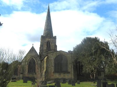
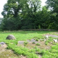
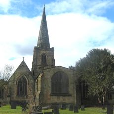
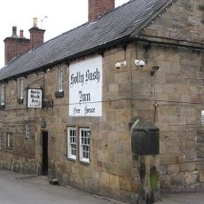
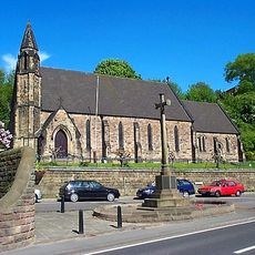
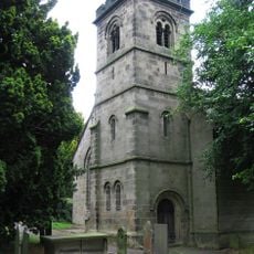
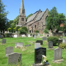
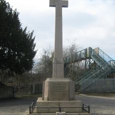
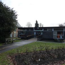
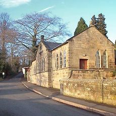
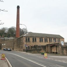
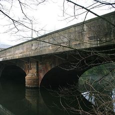
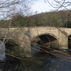
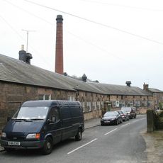
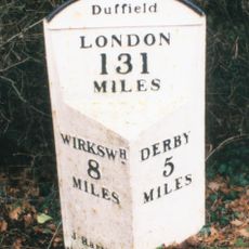
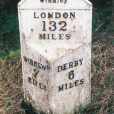
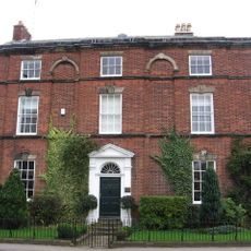
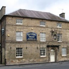
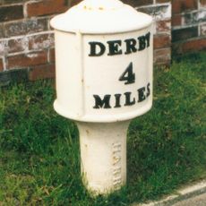
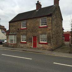
Duffield, Gemeinde in der englischen Grafschaft Derbyshire
Ort: Amber Valley
Grenzt an: City of Derby, Belper, Hazelwood, Windley, Quarndon, Little Eaton, Holbrook
GPS Koordinaten: 52.98910,-1.48890
Neueste Aktualisierung: 3. März 2025 um 21:27
Duffield Castle
405 m
Allestree Hall
3 km
Milford Tunnel
1.4 km
St Alkmund's Church, Duffield
1 km
Duffield Hall
645 m
Holly Bush Inn, Makeney
1.3 km
Church of the Holy Trinity
1.9 km
St Paul's Church, Little Eaton
2.7 km
St Paul's Church, Quarndon
2.8 km
Duffield War Memorial
985 m
Milestone, Makeney Road; 50m N of Holbrook Hall drive
1.9 km
Old Chapel, Gate Piers And Railings
202 m
Twelfth century tower keep castle, including sites of an eleventh century motte and bailey castle, an Anglian cemetery and a Rom
396 m
Milford War Memorial
1.8 km
Duffield Library
410 m
Parish Room
2.7 km
Building 51 Milford Dyehouse
1.6 km
Milford Bridge
1.6 km
Duffield Bridge
928 m
Milford County Junior Mixed And Infants School
1.6 km
Milepost At Os 336 432
986 m
Mile Post At Os 324 443
2.1 km
The Meadows
534 m
Queens Head Inn And Attached Coach House
2.9 km
Milepost At Os 346 427
896 m
The Forge
401 m
Milepost At Os 350 413
2.4 km
Milestone, Hazelwood Road jct (S of village)
2 kmDiesen Ort besucht? Tippe auf die Sterne, um ihn zu bewerten und deine Erfahrung oder Fotos mit der Community zu teilen! Jetzt ausprobieren! Sie können jederzeit kündigen.
Entdecke verborgene Schätze auf jedem Abenteuer!
Von charmanten kleinen Cafés bis zu versteckten Aussichtspunkten – entfliehe dem Touristentrubel und finde Orte, die wirklich zu dir passen. Unsere App macht's dir leicht: Sprachsuche, clevere Filter, optimierte Routen und echte Geheimtipps von Reisenden weltweit. Jetzt runterladen und das Abenteuer mobil erleben!
Ein neuer Ansatz für touristische Entdeckungen❞
— Le Figaro
Alle Orte, die eine Entdeckung wert sind❞
— France Info
Ein maßgeschneiderter Ausflug mit nur wenigen Klicks❞
— 20 Minutes