
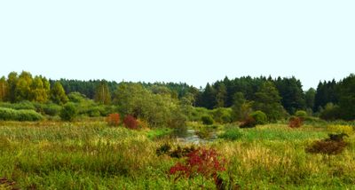
Vilnia Hydrographical Reserve
Ort: Vilnius District Municipality
GPS Koordinaten: 54.73889,25.56028
Neueste Aktualisierung: 25. September 2025 um 08:40
Arvydai-Bezdonys Manor
7.1 km
Botanical Garden of Vilnius University
10.1 km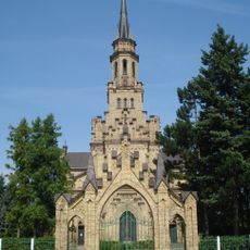
St. Kasimir
10.7 km
Rokantiškės
12 km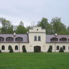
Kairėnai Manor
10.1 km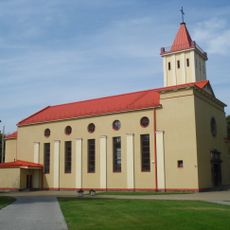
Maria Königin des Friedens
11.3 km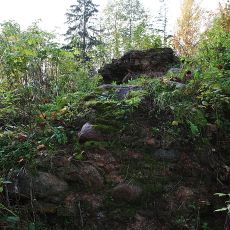
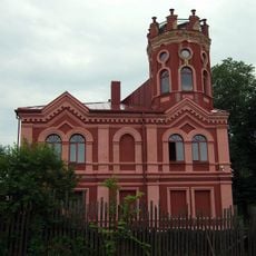
Rokantiškės Castle
12.2 km
Wysmałki
9.6 km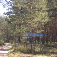
Taurija Ornitological Reserve
4 km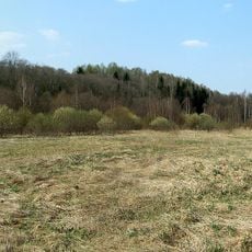
Dvarcionys Geomorphological Reserve
11.1 km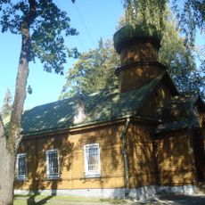
Orthodoxe Peter-und-Paul-Kirche
11.5 km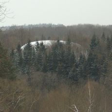
Wallburg Rokantiškės
11.6 km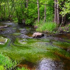
Verzuva Hydrographical Reserve
11.1 km
Church of the Assumption, Mickūnai
5.1 km
Church of Our Lady of the Gate of Dawn, Mother of Mercy, Bezdonys
7.5 km
Tapeliai Landscape Reserve
8.6 km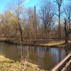
Park Naujoji Vilnia
10.2 km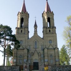
Church of St. John the Baptist, Lavoriškės
6.1 km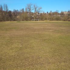
Naujoji Vilnia Old Stadium
10.2 km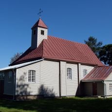
Church of Our Lady of the Gate of Dawn, Kena
10.9 km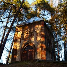
Radziszewski family chapel, Antaviliai
12.2 km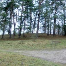
Lavoriškės hillfort
6.1 km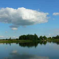
Kyviškių tvenkinys
8.5 km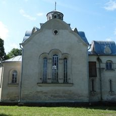
Chapel in Vėliučionys
11.5 km
Chapel in Mostiškės
8.2 km
Old chapel, Mostiškės
7.7 km
Baniškių pilkapynas
11.9 km
Soviet Bunker museum
10.4 kmBewertungen
Diesen Ort besucht? Tippe auf die Sterne, um ihn zu bewerten und deine Erfahrung oder Fotos mit der Community zu teilen! Jetzt ausprobieren! Sie können jederzeit kündigen.
Entdecke verborgene Schätze auf jedem Abenteuer!
Von charmanten kleinen Cafés bis zu versteckten Aussichtspunkten – entfliehe dem Touristentrubel und finde Orte, die wirklich zu dir passen. Unsere App macht's dir leicht: Sprachsuche, clevere Filter, optimierte Routen und echte Geheimtipps von Reisenden weltweit. Jetzt runterladen und das Abenteuer mobil erleben!

Ein neuer Ansatz für touristische Entdeckungen❞
— Le Figaro
Alle Orte, die eine Entdeckung wert sind❞
— France Info
Ein maßgeschneiderter Ausflug mit nur wenigen Klicks❞
— 20 Minutes