
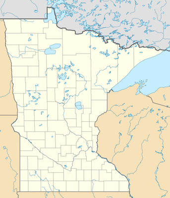
North Carlton, unorganized territory of Carlton County, Minnesota, United States
Ort: Carlton County
GPS Koordinaten: 46.68056,-92.75889
Neueste Aktualisierung: 3. März 2025 um 22:52
Jay Cooke State Park
32.9 km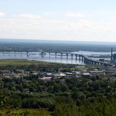
Richard I. Bong Memorial Bridge
47.3 km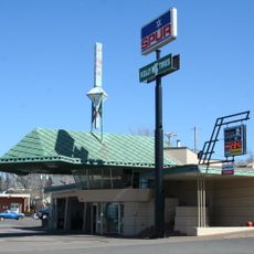
Lindholm Oil Company Service Station
23.2 km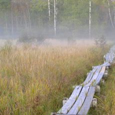
Savanna Portage State Park
35 km
Moose Lake State Park
26.6 km
Rice Lake National Wildlife Refuge
47.3 km
Oliver Bridge
42.6 km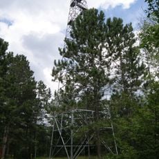
Fond du Lac State Forest
2.6 km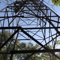
Savanna State Forest
36.4 km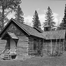
Church of Sts. Joseph and Mary-Catholic
9.3 km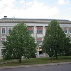
Carlton County Courthouse
25.6 km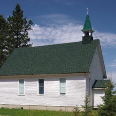
Church of St. Joseph
44.9 km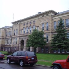
Irving School
45.5 km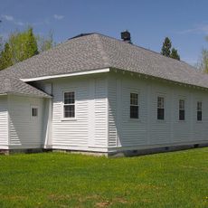
Western Bohemian Fraternal Union Hall
40.9 km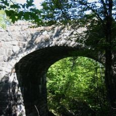
Bridge No. L6007
40.6 km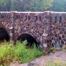
Bridge No. 5757
37 km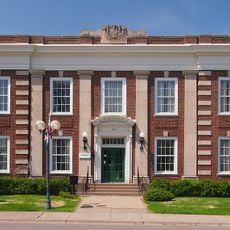
Cloquet City Hall
22.9 km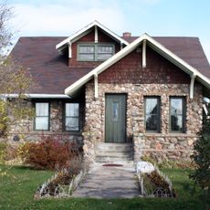
Arthyde Stone House
44.3 km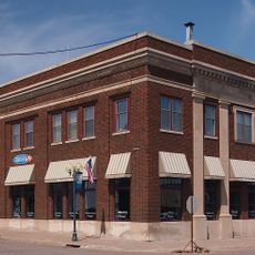
Cloquet-Northern Office Building
23 km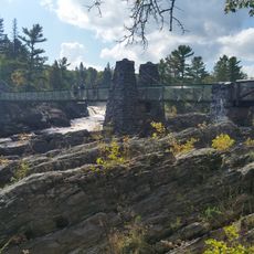
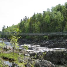
Swinging Bridge, Minnesota
29.8 km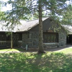
Jay Cooke State Park CCC/Rustic Style Historic District
29.8 km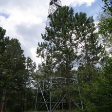
Cromwell Lookout Tower
6.4 km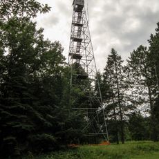
Nickerson Lookout Tower
36.6 km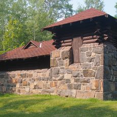
Jay Cooke State Park CCC/WPA/Rustic Style Picnic Grounds
31.2 km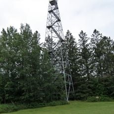
Floodwood Lookout Tower
30.2 km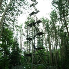
Cloquet Lookout Tower
17.8 km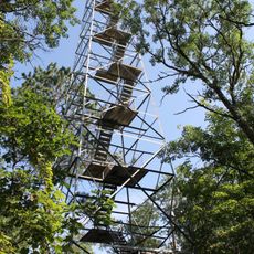
Sandy Lake Lookout Tower
39.2 km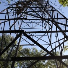
Ball Bluff Lookout Tower
46.9 kmDiesen Ort besucht? Tippe auf die Sterne, um ihn zu bewerten und deine Erfahrung oder Fotos mit der Community zu teilen! Jetzt ausprobieren! Sie können jederzeit kündigen.
Entdecke verborgene Schätze auf jedem Abenteuer!
Von charmanten kleinen Cafés bis zu versteckten Aussichtspunkten – entfliehe dem Touristentrubel und finde Orte, die wirklich zu dir passen. Unsere App macht's dir leicht: Sprachsuche, clevere Filter, optimierte Routen und echte Geheimtipps von Reisenden weltweit. Jetzt runterladen und das Abenteuer mobil erleben!

Ein neuer Ansatz für touristische Entdeckungen❞
— Le Figaro
Alle Orte, die eine Entdeckung wert sind❞
— France Info
Ein maßgeschneiderter Ausflug mit nur wenigen Klicks❞
— 20 Minutes