
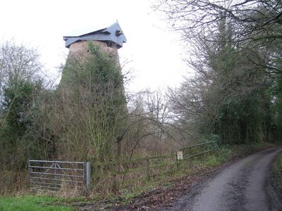
Disused windmill at NGR SJ 56652 29724, Grade II* listed former windmill in Hawkstone Park, Weston-under-Redcastle, Shropshire, England, UK
GPS Koordinaten: 52.86320,-2.64532
Neueste Aktualisierung: 22. März 2025 um 11:20

Hawkstone Park
1.1 km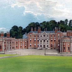
Hawkstone Hall
1.5 km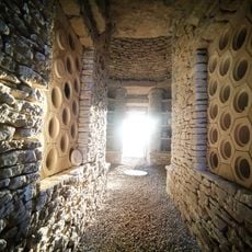
Soulton Long Barrow
2.5 km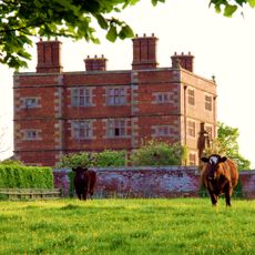
Soulton Hall
2.3 km
Hodnet Hall
4.5 km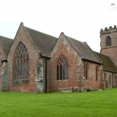
St Luke's Church, Hodnet
4.7 km
Bury Walls
2.4 km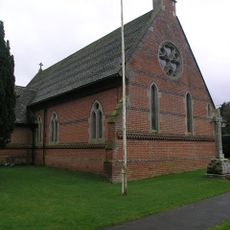
Church of Immanuel
3.8 km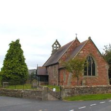
Church of St Peter
3.3 km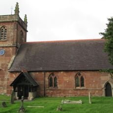
Church of St Luke
930 m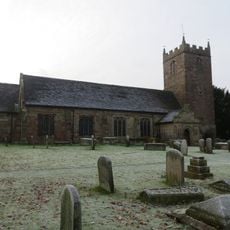
Church of St Chad
3.9 km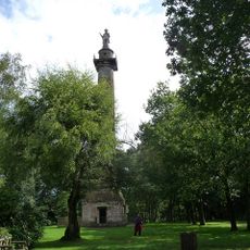
Rowland Hill Monument
1.3 km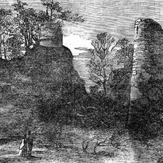
Red Castle
595 m
Morgan Library
5.2 km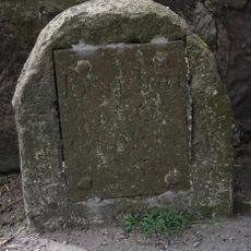
Milestone At Ngr Sj 5829 3402
4.6 km
The Albion Public House And Adjoining Stables To East
5 km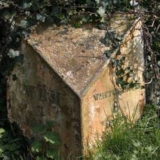
Milepost At Ngr Sj 5163 30 32
5 km
Park House (formerly Listed As The Hall, New Street)
5.2 km
22, Marchamley
3 km
40, Aston Street
5.2 km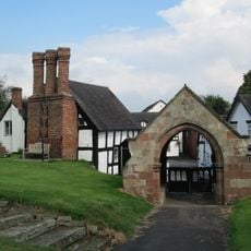
Lychgate approximately 35 metres to east of Church of St Luke
4.8 km
The Dell
3.8 km
Hodnet Hall Dovecote
4.5 km
Milepost At Ngr Sj 5545 3298
3.5 km
Former Lock Up
4 km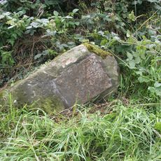
Milestone At N.G.R. Sj 5982 3378
5.2 km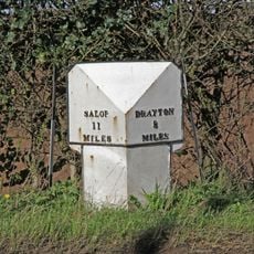
Mile Post Approximately 18 Metres South East Of Lodgebank
4.9 km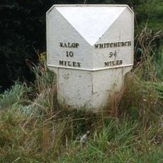
Milepost Approximately 85 Metres To West Of Bridleway Gate
4.4 kmBewertungen
Diesen Ort besucht? Tippe auf die Sterne, um ihn zu bewerten und deine Erfahrung oder Fotos mit der Community zu teilen! Jetzt ausprobieren! Sie können jederzeit kündigen.
Entdecke verborgene Schätze auf jedem Abenteuer!
Von charmanten kleinen Cafés bis zu versteckten Aussichtspunkten – entfliehe dem Touristentrubel und finde Orte, die wirklich zu dir passen. Unsere App macht's dir leicht: Sprachsuche, clevere Filter, optimierte Routen und echte Geheimtipps von Reisenden weltweit. Jetzt runterladen und das Abenteuer mobil erleben!

Ein neuer Ansatz für touristische Entdeckungen❞
— Le Figaro
Alle Orte, die eine Entdeckung wert sind❞
— France Info
Ein maßgeschneiderter Ausflug mit nur wenigen Klicks❞
— 20 Minutes