
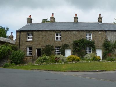
2, 3 and 4 Top Row, houses in Downham, Lancashire, United Kingdom
Ort: Downham
Gründung: 1825
GPS Koordinaten: 53.89475,-2.32953
Neueste Aktualisierung: 3. März 2025 um 07:46
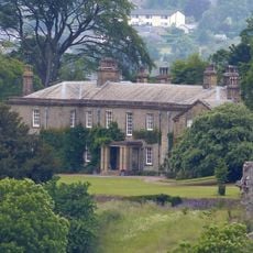
Downham Hall
130 m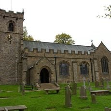
St Leonard's Church, Downham
29 m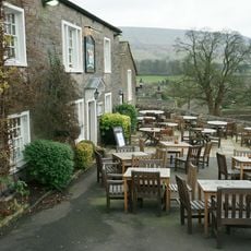
Assheton Arms
36 m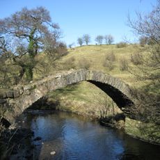
Smithies Brook
1 km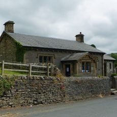
Downham Church of England School
139 m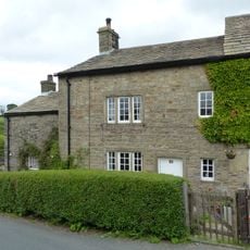
35 Chapel Brow
351 m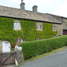
36 and 37 Chapel Brow
360 m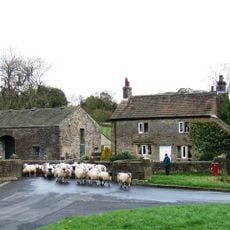
Fir Tree House
259 m
Bridge approximately 15 metres south west of Fir Tree House
259 m
Old Well Hall
217 m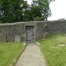
Door and surround in garden wall, Downham Hall, approximately 10 metres south west of church tower
55 m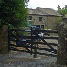
Building on east side of yard at Home Farm, north west of Downham Hall
153 m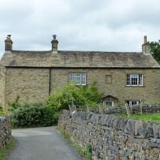
7 Top Row
23 m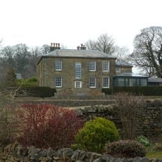
The Lidgett House
112 m
The White House
154 m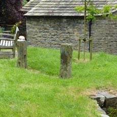
Stocks
50 m
Greengates
347 m
Post Office and house adjoining to east
65 m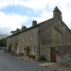
45
190 m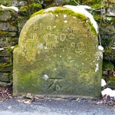
Milestone at west side of road, near junction with Chatburn Road
230 m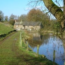
Downham Mill
940 m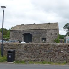
Barn approximately 15 metres north of Fir Tree House
232 m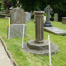
Sundial In Churchyard Approximately 8 Metres South Of Chancel, Church Of St Leonard
45 m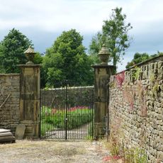
Pair of gatepiers in Downham Hall garden, approximately 60 metres north west of school
84 m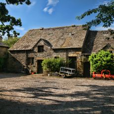
Barn to Home Farm, north west of Downham Hall, and stable in same range to east
183 m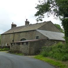
Laneside Farmhouse and barn adjoining to west
627 m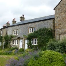
5 and 6 Top Row
8 m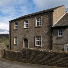
Village Hall
411 mBewertungen
Diesen Ort besucht? Tippe auf die Sterne, um ihn zu bewerten und deine Erfahrung oder Fotos mit der Community zu teilen! Jetzt ausprobieren! Sie können jederzeit kündigen.
Entdecke verborgene Schätze auf jedem Abenteuer!
Von charmanten kleinen Cafés bis zu versteckten Aussichtspunkten – entfliehe dem Touristentrubel und finde Orte, die wirklich zu dir passen. Unsere App macht's dir leicht: Sprachsuche, clevere Filter, optimierte Routen und echte Geheimtipps von Reisenden weltweit. Jetzt runterladen und das Abenteuer mobil erleben!

Ein neuer Ansatz für touristische Entdeckungen❞
— Le Figaro
Alle Orte, die eine Entdeckung wert sind❞
— France Info
Ein maßgeschneiderter Ausflug mit nur wenigen Klicks❞
— 20 Minutes