
Walls to courtyard to east of Rotherfield Hall including piers, balustrades, steps and sundial
Walls to courtyard to east of Rotherfield Hall including piers, balustrades, steps and sundial, structures in Rotherfield, East Sussex, England, UK
Ort: Rotherfield
GPS Koordinaten: 51.03932,0.19993
Neueste Aktualisierung: 25. September 2025 um 08:35
Mayfield College
4.8 km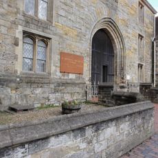
St Leonards-Mayfield School
4.8 km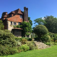
Luxford House
2 km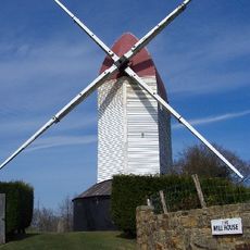
Argos Hill Mill, Mayfield
2.8 km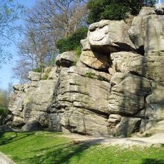
Bowles Rocks
4 km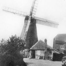
Pratt's Mill, Crowborough
3.3 km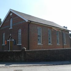
Rehoboth Chapel, Jarvis Brook
1.4 km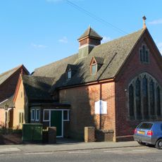
Crowborough Community Church
3.6 km
Crowborough Country Park
1.7 km
Mayfield Baptist Chapel
4.6 km
Hastingford Cutting
3.6 km
The Parish Church of St Denys
1.5 km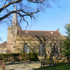
The Parish Church of All Saints
3 km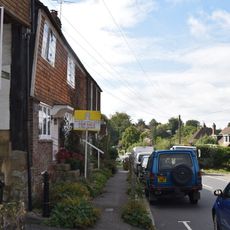
1 and 2 Chapel Cottages, Church Street
1.5 km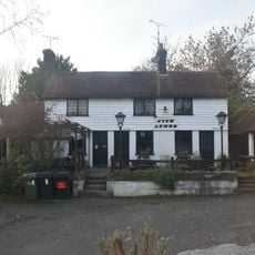
The Five Ashes Inn
4.3 km
Church Cottage, 2 Church Street
1.5 km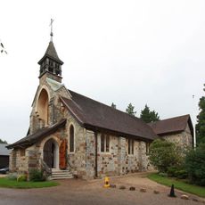
St Michael & All Angels
1 km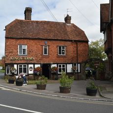
The King's Arms Public House
1.6 km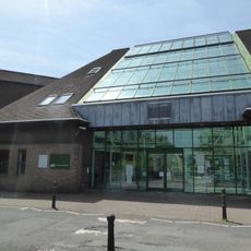
Crowborough Library
3.6 km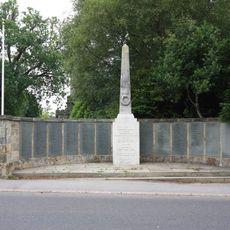
Crowborough War Memorial
3 km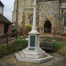
Mayfield War Memorial
4.7 km
Medieval moated site with adjacent late medieval Pondbay, Walsh Manor, Crowborough
1.9 km
Cellar Cottage The Old Bakery
1.6 km
Boxgate Farmhouse
4.5 km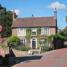
Crossways
4.6 km
Ivy Cottage Ivy House Mark Cross Post Office
4.5 km
Stile House Farmhouse
4.1 km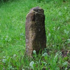
Milestone, Five Ashes, opp Five Ashes Primary School
4.3 kmBewertungen
Diesen Ort besucht? Tippe auf die Sterne, um ihn zu bewerten und deine Erfahrung oder Fotos mit der Community zu teilen! Jetzt ausprobieren! Sie können jederzeit kündigen.
Entdecke verborgene Schätze auf jedem Abenteuer!
Von charmanten kleinen Cafés bis zu versteckten Aussichtspunkten – entfliehe dem Touristentrubel und finde Orte, die wirklich zu dir passen. Unsere App macht's dir leicht: Sprachsuche, clevere Filter, optimierte Routen und echte Geheimtipps von Reisenden weltweit. Jetzt runterladen und das Abenteuer mobil erleben!

Ein neuer Ansatz für touristische Entdeckungen❞
— Le Figaro
Alle Orte, die eine Entdeckung wert sind❞
— France Info
Ein maßgeschneiderter Ausflug mit nur wenigen Klicks❞
— 20 Minutes