
Horse drinking trough and canopy, Grade II listed building in York, England
Ort: City of York
Gründung: 1883
GPS Koordinaten: 53.96991,-1.09719
Neueste Aktualisierung: 27. März 2025 um 18:41

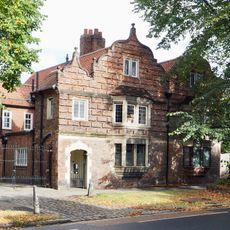
64 And 66, Clifton
287 m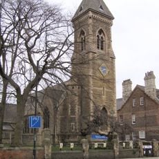
Church of St Philip and St James
93 m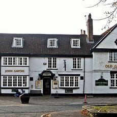
The Old Grey Mare Public House
119 m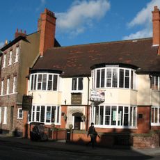
The Burton Stone Inn and attached front wall
406 m
16, Clifton Green
97 m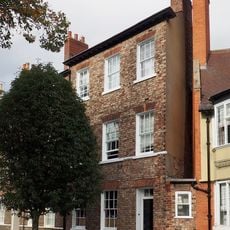
34, Clifton
410 m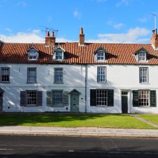
8, 10 and 12, Water End
127 m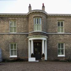
Clifton Croft
233 m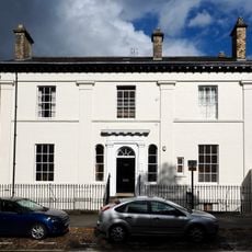
50 Clifton (former Barclays Bank) and attached railings
350 m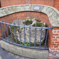
The Burton Stone adjacent to The Burton Stone Inn
417 m
Garden railings fronting road at number 29 Clifton (Music School of St Peter's School)
416 m
68 and 70, Clifton
272 m
St Peters School Annexe
511 m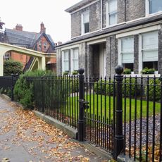
Gates and garden railings to number 18 Clifton
508 m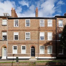
36, Clifton
390 m
John Burrill Homes (NE block)
164 m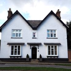
The White House
196 m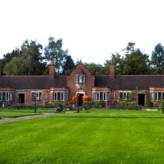
John Burrill Homes (NW block)
194 m
Music School of St Peter's School
407 m
42 and 44, Clifton
374 m
26-32, Clifton
423 m
134-140, Clifton Green
52 m
Garden wall and gates approximately 25 metres south east of the John Burrill Homes
170 m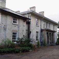
St Hildas Garth
343 m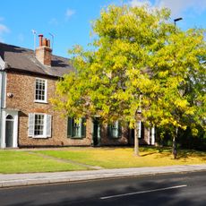
Ellison Terrace
97 m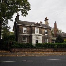
Number 27 Clifton and attached walls and railings
426 m
John Burrill Homes (SW block)
197 m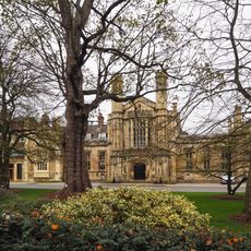
Hall Range And Chapel At St Peters School
496 mBewertungen
Diesen Ort besucht? Tippe auf die Sterne, um ihn zu bewerten und deine Erfahrung oder Fotos mit der Community zu teilen! Jetzt ausprobieren! Sie können jederzeit kündigen.
Entdecke verborgene Schätze auf jedem Abenteuer!
Von charmanten kleinen Cafés bis zu versteckten Aussichtspunkten – entfliehe dem Touristentrubel und finde Orte, die wirklich zu dir passen. Unsere App macht's dir leicht: Sprachsuche, clevere Filter, optimierte Routen und echte Geheimtipps von Reisenden weltweit. Jetzt runterladen und das Abenteuer mobil erleben!

Ein neuer Ansatz für touristische Entdeckungen❞
— Le Figaro
Alle Orte, die eine Entdeckung wert sind❞
— France Info
Ein maßgeschneiderter Ausflug mit nur wenigen Klicks❞
— 20 Minutes