
Table Tomb 10 Metres South Of Church Of All Saints, tomb in Barton Stacey, Test Valley, Hampshire, UK
Ort: Barton Stacey
GPS Koordinaten: 51.16774,-1.37938
Neueste Aktualisierung: 13. März 2025 um 13:25


Tidbury Ring
3.3 km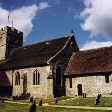
Church of St Nicholas
2.9 km
Church of All Saints
18 m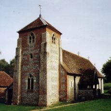
Church of St Michael
2 km
The Cricketers Inn
3.5 km
Table Tomb 5 Metres North Of Church Of All Saints
31 m
The Swan Inn
86 m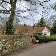
Manor Farmhouse
2.5 km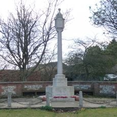
Sutton Scotney War Memorial
3.3 km
Yew Cottage
3.6 km
Table Tomb 9 Metres North Of Church Of All Saints
34 m
Table Tomb 2 Metres North Of Church Of All Saints
30 m
Table Tomb 9 Metres Noth Of Church Of All Saints
34 m
Longparish War Memorial
3 km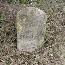
Milestone 800 Metres West Of Red House, Sutton Scotney
2.6 km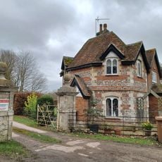
Gatepiers (To The East Lodge Of The Priory)
3.9 km
Table Tomb 7 Metres North Of Church Of All Saints
32 m
Table Tomb 12 Metres North Of Church Of All Saints
37 m
Millhouse And Mill
3.7 km
The Curacy
3 km
Old School House
64 m
Table Tomb 10 Metres North Of Church Of All Saints
35 m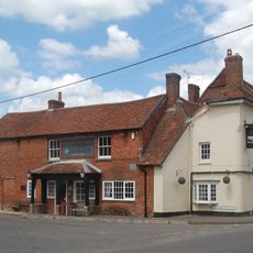
Coach And Horses
3.3 km
The Malt House And Boundary Wall
55 m
Table Tomb 5 Metres North Of Church Of All Saints
31 m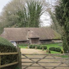
Barn (20 Yards North Of Manor Farmhouse)
2.5 km
Milestone, Tidbury Ring
3.6 km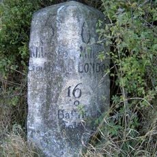
Milestone, Buckley Cottages
3.7 kmBewertungen
Diesen Ort besucht? Tippe auf die Sterne, um ihn zu bewerten und deine Erfahrung oder Fotos mit der Community zu teilen! Jetzt ausprobieren! Sie können jederzeit kündigen.
Entdecke verborgene Schätze auf jedem Abenteuer!
Von charmanten kleinen Cafés bis zu versteckten Aussichtspunkten – entfliehe dem Touristentrubel und finde Orte, die wirklich zu dir passen. Unsere App macht's dir leicht: Sprachsuche, clevere Filter, optimierte Routen und echte Geheimtipps von Reisenden weltweit. Jetzt runterladen und das Abenteuer mobil erleben!

Ein neuer Ansatz für touristische Entdeckungen❞
— Le Figaro
Alle Orte, die eine Entdeckung wert sind❞
— France Info
Ein maßgeschneiderter Ausflug mit nur wenigen Klicks❞
— 20 Minutes