
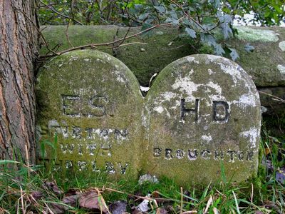
Boundary Stone At Abutment Of Inghey Bridge, boundary marker in Broughton, Craven, North Yorkshire, UK
Ort: Broughton
Ort: Stirton with Thorlby
Teil von: political border
GPS Koordinaten: 53.96087,-2.06148
Neueste Aktualisierung: 10. März 2025 um 10:15
St Stephen's Church, Skipton
2.7 km
Christ Church
2.8 km
Church of St Mary
2.2 km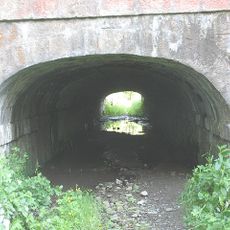
Tunnel Under Leeds And Liverpool Canal
418 m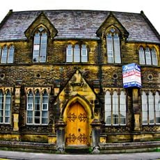
Roman Catholic Primary School And Schoolhouse
2.7 km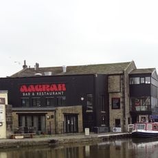
The Barge Inn
2.7 km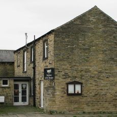
Skipton Little Theatre
2.6 km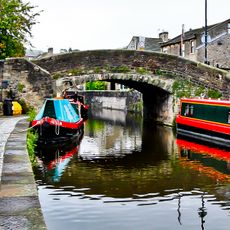
New Bridge
2.8 km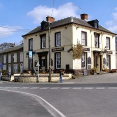
Craven Hotel
2.7 km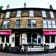
Midland Hotel
2.4 km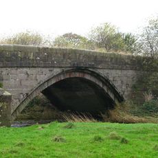
Inghey Bridge
61 m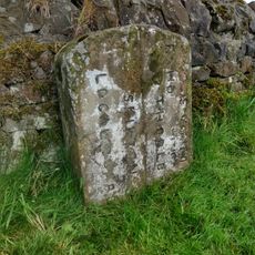
Boundary Stone
1.6 km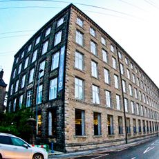
Dewhurst's Mill
2.5 km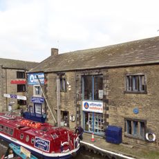
The Dales Outdoor Centre. Pennine Boats Office.
2.7 km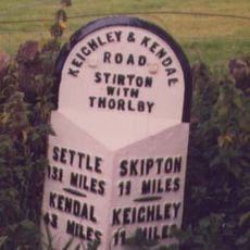
Milestone, W of traffic island at N end of Skipton by-pass
1 km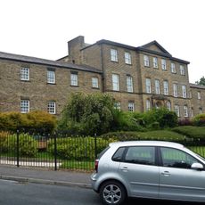
Administration Block Of Raikeswood Hospital
2.4 km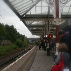
Canopy To South Of Skipton Railway Station
2.3 km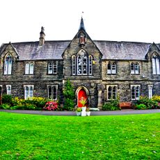
St Monica's Convent
2.7 km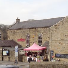
Fire Station, Coach Street
2.7 km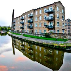
Victoria Mill And Associated Mill Chimney
2.6 km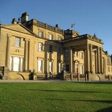
Broughton Hall
1.9 km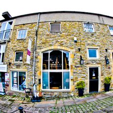
5 And 7, Albert Street
2.8 km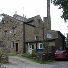
Trappes Hall
2.2 km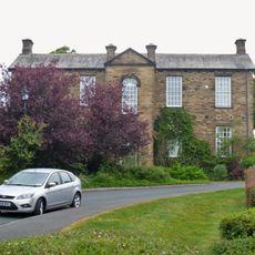
Nurses Home Of Raikeswood Hospital
2.4 km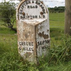
Milestone, Grassington Road, 400m N of Skipton by-pass
2.7 km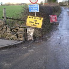
Guidestone, Stirton Lane
1.3 km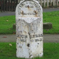
Milestone, nr Broughton Grove, E end of Skipton
1.5 km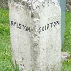
Guidestone, A65 jct, Sour Lane
1.2 kmBewertungen
Diesen Ort besucht? Tippe auf die Sterne, um ihn zu bewerten und deine Erfahrung oder Fotos mit der Community zu teilen! Jetzt ausprobieren! Sie können jederzeit kündigen.
Entdecke verborgene Schätze auf jedem Abenteuer!
Von charmanten kleinen Cafés bis zu versteckten Aussichtspunkten – entfliehe dem Touristentrubel und finde Orte, die wirklich zu dir passen. Unsere App macht's dir leicht: Sprachsuche, clevere Filter, optimierte Routen und echte Geheimtipps von Reisenden weltweit. Jetzt runterladen und das Abenteuer mobil erleben!

Ein neuer Ansatz für touristische Entdeckungen❞
— Le Figaro
Alle Orte, die eine Entdeckung wert sind❞
— France Info
Ein maßgeschneiderter Ausflug mit nur wenigen Klicks❞
— 20 Minutes