
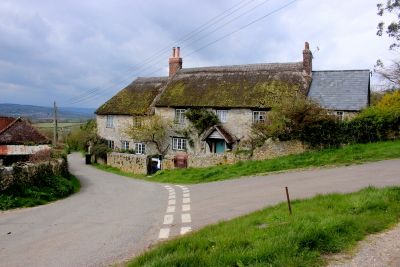
Lower Farmhouse, Bauernhaus im Vereinigten Königreich
Ort: Combpyne Rousdon
GPS Koordinaten: 50.73306,-3.00847
Neueste Aktualisierung: 6. März 2025 um 05:42
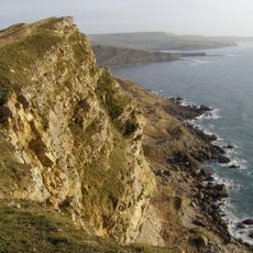
Jurassic Coast
3.3 km
Musbury Castle
1.2 km
Stedcombe House
2.7 km
Hawkesdown Hill
3 km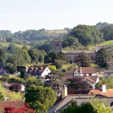
Church of St Peter and St Paul
3.6 km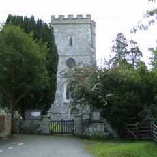
Church of St Michael
2 km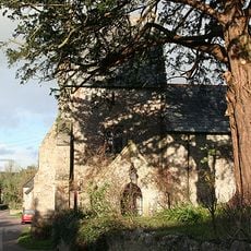
Church of St Mary
715 m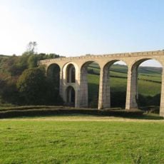
Cannington Viaduct
2.8 km
Pear Tree Cottage
3.6 km
All Hallows School Including Former Stables Adjoining West And Forecourt Area Wall And Gate Piers To North
2.6 km
Rose Cottage
3.5 km
North Lodge And Gate Piers At All Hallows School
2 km
Cob Cottage Little Thatch
2.4 km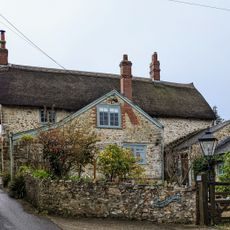
Rest Harrow
3.5 km
Pinhay
3.3 km
West Lodges At All Hallows School
2.7 km
Cattleshed South South East Of Court Hall Farm House
3.6 km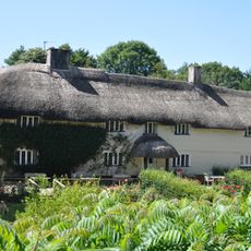
Musbury Farm House
2 km
Mile Post North Of North Lodge
2 km
Rose Farmhouse And Grove Lea
3.5 km
Higher Bruckland Farmhouse Including Adjoining Outbuilding To South East
640 m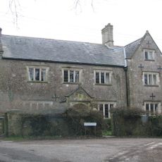
Dowlands Farmhouse
2.7 km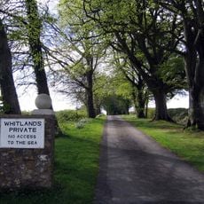
Whitlands
2.6 km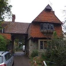
East Lodges At All Hallows School
2.6 km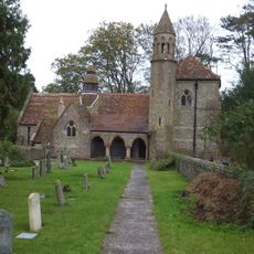
Film Studio At All Hallows School The Old Church
2.6 km
Stable Range South Of Court Hall Farm House
3.6 km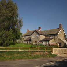
Lower Bruckland Farm House Including Outbuilding Adjoining North East
1.7 km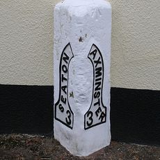
Milestone, Axminster Road, by Mountfield Lodge, on the old section of road through the village
2.2 kmDiesen Ort besucht? Tippe auf die Sterne, um ihn zu bewerten und deine Erfahrung oder Fotos mit der Community zu teilen! Jetzt ausprobieren! Sie können jederzeit kündigen.
Entdecke verborgene Schätze auf jedem Abenteuer!
Von charmanten kleinen Cafés bis zu versteckten Aussichtspunkten – entfliehe dem Touristentrubel und finde Orte, die wirklich zu dir passen. Unsere App macht's dir leicht: Sprachsuche, clevere Filter, optimierte Routen und echte Geheimtipps von Reisenden weltweit. Jetzt runterladen und das Abenteuer mobil erleben!

Ein neuer Ansatz für touristische Entdeckungen❞
— Le Figaro
Alle Orte, die eine Entdeckung wert sind❞
— France Info
Ein maßgeschneiderter Ausflug mit nur wenigen Klicks❞
— 20 Minutes