
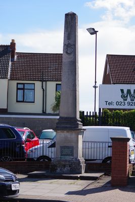
Town Boundary Stone At Junction Of London Road And Torrington Road
Town Boundary Stone At Junction Of London Road And Torrington Road, architectural structure in City of Portsmouth, Hampshire, UK
Ort: City of Portsmouth
GPS Koordinaten: 50.82465,-1.07322
Neueste Aktualisierung: 3. März 2025 um 03:25

HMS Excellent
1.8 km
Hilsea Lines
1.2 km
HMS King Alfred
2.1 km
Charles Dickens Birthplace Museum
2.2 km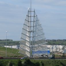
Sails of the South
1.3 km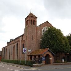
Church of St Alban
1.5 km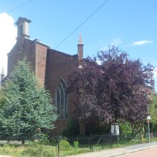
Church of St Philip
2 km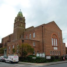
Church of St Cuthbert
2.2 km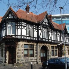
Air Balloon Public House
1.6 km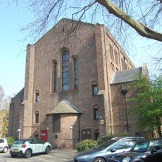
Church of St John the Baptist
1.4 km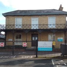
Cosham Park House
2.1 km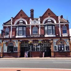
Fountain Public House And Attached Boundary Wall And Gate Piers
817 m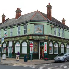
Tangier Public House
2 km
511, London Road
320 m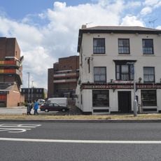
Market House Tavern
2 km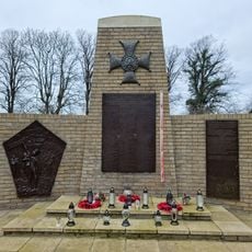
Battleship Marianne Memorial, Portsmouth
2.2 km
Green Farmhouse
759 m
73 And 75, Kingston Crescent
1.4 km
Milestone: Hilsea Market Approximately 200 Metres South Of Military Road
994 m
Former Barn To North Of Green Farmhouse
788 m
Round Tower, Circular Road
2.3 km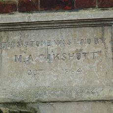
Mile End Chapel Studio And Attached Wall And Piers
2.2 km
65-71, Kingston Crescent
1.4 km
61 And 63, Kingston Crescent
1.4 km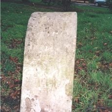
Milestone Adjacent To The Market Tavern
2 km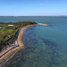
Aussichtspunkt
1.6 km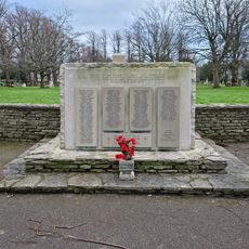
Portsmouth Civilans WWII Stone of Remembrance
2.2 km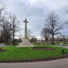
Kingston Cemetery Cross of Sacrifice, Portsmouth
1.9 kmDiesen Ort besucht? Tippe auf die Sterne, um ihn zu bewerten und deine Erfahrung oder Fotos mit der Community zu teilen! Jetzt ausprobieren! Sie können jederzeit kündigen.
Entdecke verborgene Schätze auf jedem Abenteuer!
Von charmanten kleinen Cafés bis zu versteckten Aussichtspunkten – entfliehe dem Touristentrubel und finde Orte, die wirklich zu dir passen. Unsere App macht's dir leicht: Sprachsuche, clevere Filter, optimierte Routen und echte Geheimtipps von Reisenden weltweit. Jetzt runterladen und das Abenteuer mobil erleben!

Ein neuer Ansatz für touristische Entdeckungen❞
— Le Figaro
Alle Orte, die eine Entdeckung wert sind❞
— France Info
Ein maßgeschneiderter Ausflug mit nur wenigen Klicks❞
— 20 Minutes