23, building in North Cerney, Cotswold, Gloucestershire, UK
Ort: North Cerney
GPS Koordinaten: 51.77133,-1.97067
Neueste Aktualisierung: 25. November 2023 um 01:31
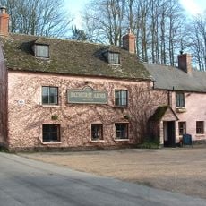
Bathurst Arms
221 m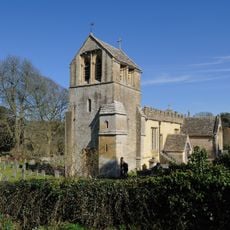
Church of All Saints
386 m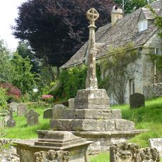
Cross and cross shaft base in the churchyard of the Church of All Saints, circa 9 metres south of the south porch
399 m
Group of 35 17th to 18th century monuments in the churchyard of the Church of All Saints, west of the path to Church Cottage as far as the Henry Baldwin Monument
408 m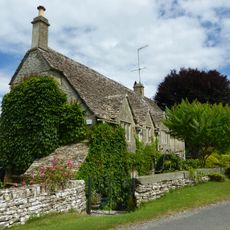
Church Cottage
394 m
Pair of monuments in the churchyard of the Church Of All Saints, circa 18 metres south of the south porch
408 m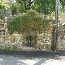
Water pump and water pump recess opposite Elmlea
23 m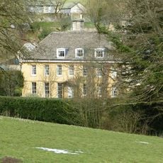
The Old Rectory
459 m
Stockwell Monument in the churchyard of the Church of All Saints, circa 6 metres west of the porch
403 m
Row of 3 monuments in the churchyard of the Church of All Saints circa 6 and 1/2 metres south east of the chancel
382 m
Elmlea
14 m
Mill And Miller's House
225 m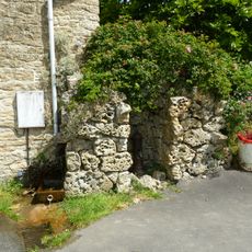
Pump and pump recess circa 10 metres south east of Granny Mabbett's Corner
90 m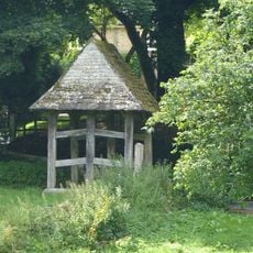
Lychgate on the northern boundary of the churchyard of the Church of All Saints
346 m
Thatched Outbuilding Circa 8 Metres North Of Manor Farm
156 m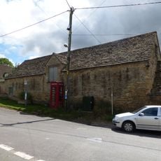
Stableblock circa 50 metres north of Manor Farm
131 m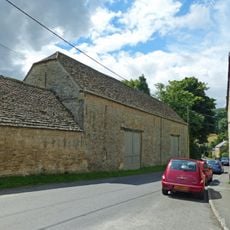
Double barn circa 50 metres north of Manor Farm
168 m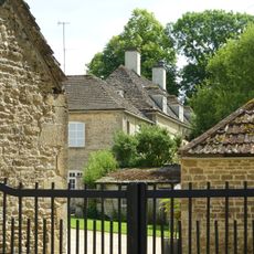
Manor Farm
184 m
36
89 m
Gate Piers At The Lodge
724 m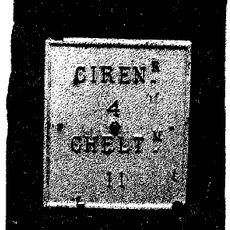
Milestone, N of N Cerney
376 m
Pair Of Cottages At Broadbridge (One Occupied By Mr And Mrs Crump)
386 m
Group of monuments in the churchyard of the Church of All Saints east of the path to Church Cottage as far as the Thomas Radway Monument
396 m
K6 telephone kiosk
132 m
Open-Fronted Store Circa 30 Metres North West Of Manor Farm
187 m
School And School House
93 m
Stableblock Circa 30 Metres North East Of The Old Rectory
411 m
Cerney House
673 mBewertungen
Diesen Ort besucht? Tippe auf die Sterne, um ihn zu bewerten und deine Erfahrung oder Fotos mit der Community zu teilen! Jetzt ausprobieren! Sie können jederzeit kündigen.
Entdecke verborgene Schätze auf jedem Abenteuer!
Von charmanten kleinen Cafés bis zu versteckten Aussichtspunkten – entfliehe dem Touristentrubel und finde Orte, die wirklich zu dir passen. Unsere App macht's dir leicht: Sprachsuche, clevere Filter, optimierte Routen und echte Geheimtipps von Reisenden weltweit. Jetzt runterladen und das Abenteuer mobil erleben!

Ein neuer Ansatz für touristische Entdeckungen❞
— Le Figaro
Alle Orte, die eine Entdeckung wert sind❞
— France Info
Ein maßgeschneiderter Ausflug mit nur wenigen Klicks❞
— 20 Minutes