
Coal Duty Boundary Marker, coal-tax post in Bexley, Greater London, UK
Teil von: political border
GPS Koordinaten: 51.44349,0.18058
Neueste Aktualisierung: 11. August 2025 um 02:58
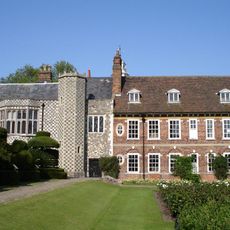
Hall Place and Gardens
1.5 km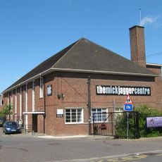
The Mick Jagger Centre
1.7 km
One Bell
1.2 km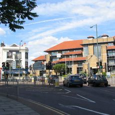
Bexley Civic Offices
2.3 km
Braeburn Park
615 m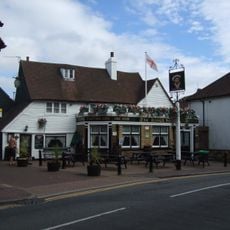
The King's Head Inn
2.1 km
Wansunt Pit
355 m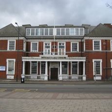
Crayford Town Hall
744 m
Church of St Paulinus, Crayford
1.3 km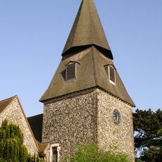
Parish Church of St Mary the Virgin
1.9 km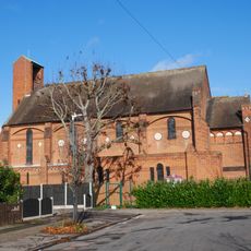
Christ Church
1.5 km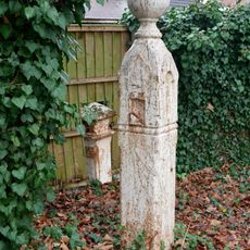
Coal Duty Boundary Marker (In The Fence To The Back Of The Garden Of Number 57 Baldwyn's Park) And Adjacent Iron Bollard
1.7 km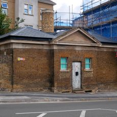
Former West Hill Police Station
2 km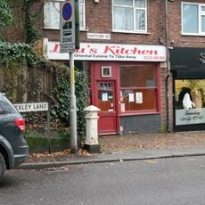
Coal Duty Boundary Marker (On The South Side Of Number 1)
1.4 km
Crayford War Memorial
1.8 km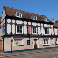
The Royal Oak Public House
2.3 km
The Long Shed (Part Of David Evans Limited Factory At Number 71)
1.1 km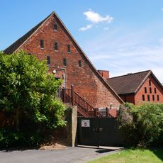
Barn At Hall Place
1.5 km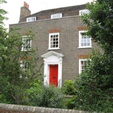
Cray House
2 km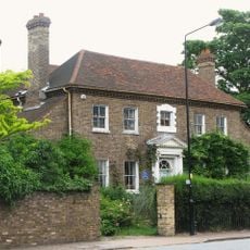
High Street House
1.9 km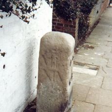
Milestone Opposite Nos 179 And 179A
1.1 km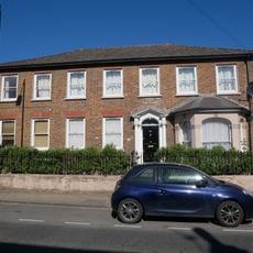
16, North Cray Road
2 km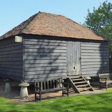
Granary Approximately 25 Metres South South East Of Hall Place
1.5 km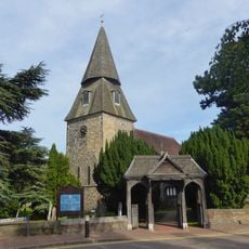
Lychgate to South West of Parish Church of St Mary the Virgin
1.9 km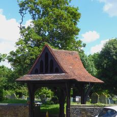
Lychgate to West of Parish Church of St Paulinus
1.3 km
Crayford Manor House
1.7 km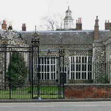
Garden Wall, Gatepiers And Gates To North Amd West Of Hall Place
1.6 km
The Oakwood
1.5 kmBewertungen
Diesen Ort besucht? Tippe auf die Sterne, um ihn zu bewerten und deine Erfahrung oder Fotos mit der Community zu teilen! Jetzt ausprobieren! Sie können jederzeit kündigen.
Entdecke verborgene Schätze auf jedem Abenteuer!
Von charmanten kleinen Cafés bis zu versteckten Aussichtspunkten – entfliehe dem Touristentrubel und finde Orte, die wirklich zu dir passen. Unsere App macht's dir leicht: Sprachsuche, clevere Filter, optimierte Routen und echte Geheimtipps von Reisenden weltweit. Jetzt runterladen und das Abenteuer mobil erleben!

Ein neuer Ansatz für touristische Entdeckungen❞
— Le Figaro
Alle Orte, die eine Entdeckung wert sind❞
— France Info
Ein maßgeschneiderter Ausflug mit nur wenigen Klicks❞
— 20 Minutes