
Waterperry House, Bow Bridge Approximately 750 Metres To South
Waterperry House, Bow Bridge Approximately 750 Metres To South, bridge in Waterperry with Thomley, South Oxfordshire, Oxfordshire, UK
GPS Koordinaten: 51.74531,-1.08541
Neueste Aktualisierung: 3. März 2025 um 02:44

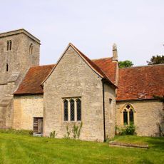
Church of St Bartholomew, Holton
2.8 km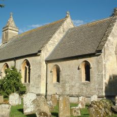
Church of St Helen
2.4 km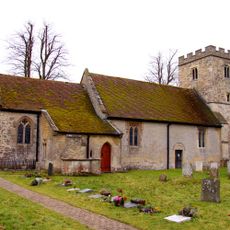
Church of St Peter and St Paul
2.7 km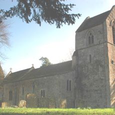
Parish Church of St Nicholas
2.2 km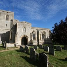
Church of St Mary
3.2 km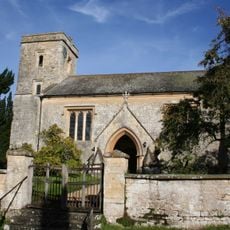
Church of St Leonard, Waterstock
318 m
Church of St Mary, Churchyard Cross Approximately 10 Metres To South
794 m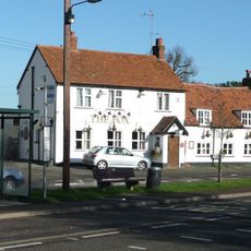
The Fox Inn
1.7 km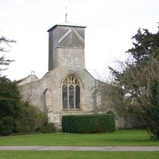
Church of St Mary
805 m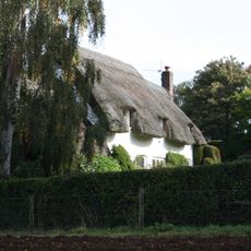
Choseley Cottage
1.6 km
The Rising Sun Public House
2.6 km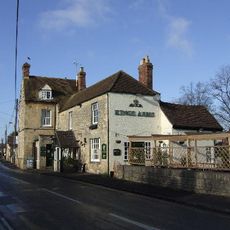
The Kings Arms Public House
3.2 km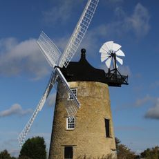
Haseley Windmill
3.2 km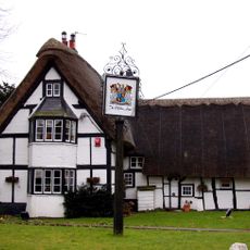
Clifden Arms
2.6 km
109, High Street
3.4 km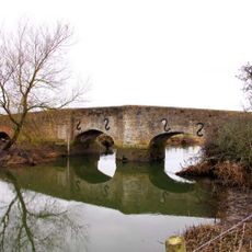
Ickford Bridge
1.9 km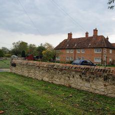
The Almshouses
3 km
Ambrose Farmhouse
3.2 km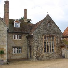
Schoolhouse And Attached Infants School
2.7 km
Waterperry House And Attached Wall
771 m
19, 21 And 23, Crown Road
3.3 km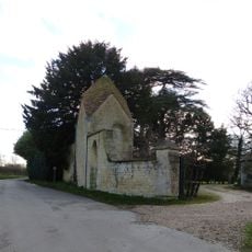
Waterstock House, Pump House With Attached Wall And Gatepier
445 m
5, Roman Road
3.1 km
College Farm
3.4 km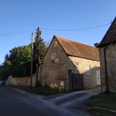
Wall And Outbuildings Along Crown Road In Front Of Mulberry Court
3.3 km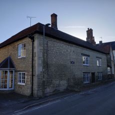
Cromwell House
3.4 km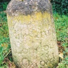
Milestone Approximately 60 Metres East Of The Avenue
2.7 km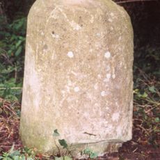
Milestone, London Road; Milton Common, W of Belfry Hotel, opp. Old London Road
2.6 kmBewertungen
Diesen Ort besucht? Tippe auf die Sterne, um ihn zu bewerten und deine Erfahrung oder Fotos mit der Community zu teilen! Jetzt ausprobieren! Sie können jederzeit kündigen.
Entdecke verborgene Schätze auf jedem Abenteuer!
Von charmanten kleinen Cafés bis zu versteckten Aussichtspunkten – entfliehe dem Touristentrubel und finde Orte, die wirklich zu dir passen. Unsere App macht's dir leicht: Sprachsuche, clevere Filter, optimierte Routen und echte Geheimtipps von Reisenden weltweit. Jetzt runterladen und das Abenteuer mobil erleben!

Ein neuer Ansatz für touristische Entdeckungen❞
— Le Figaro
Alle Orte, die eine Entdeckung wert sind❞
— France Info
Ein maßgeschneiderter Ausflug mit nur wenigen Klicks❞
— 20 Minutes