
West Pylon, tower in The City of Brighton and Hove, West Sussex, UK
Ort: Brighton and Hove
Teil von: Patcham Pylon
GPS Koordinaten: 50.88056,-0.16540
Neueste Aktualisierung: 10. April 2025 um 10:12
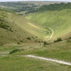
Devil's Dyke, Sussex
3.3 km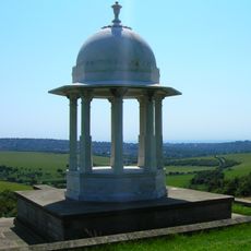
Chattri
1.4 km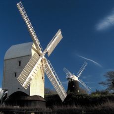
Clayton Windmills
3 km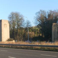
Patcham Pylon
11 m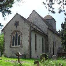
St John the Baptist's Church, Clayton
3.4 km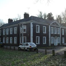
Patcham Place
1.9 km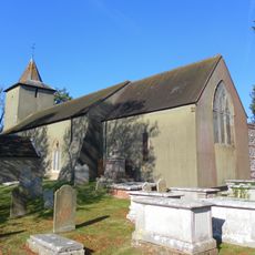
All Saints Church, Patcham
1.9 km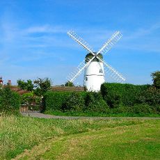
Waterhall Mill
2 km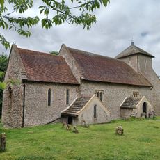
Church of the Transfiguration, Pyecombe
2 km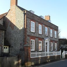
Southdown House
2.1 km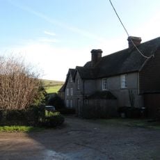
Saddlescombe Preceptory
2.1 km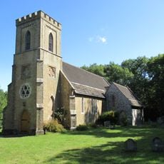
The Parish Church of St John Evangelist
3.4 km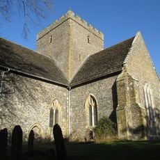
The Church of the Holy Trinity, Poynings
3.1 km
Pyecombe Manor
2.4 km
Wolstonbury
3.3 km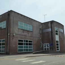
Patcham Library
2.5 km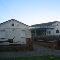
Hollingbury Library
3.4 km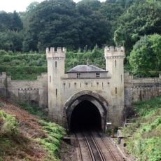
Clayton Tunnel North Portal Tunnel Cottage
3.5 km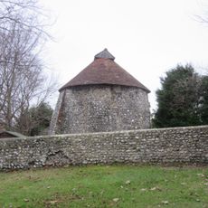
Dovecote at Patcham Court Farm, 80m north west of All Saints Church
1.8 km
Wolstonbury Camp: a Ram's Hill type enclosure on Wolstonbury Hill and associated later remains
3.3 km
Cross dyke and bowl barrow 310m south east of Wolstonbury Camp
2.9 km
The Old School House
2.1 km
Cliveden Lodge
3.6 km
106 And 108, Old London Road
2.1 km
A saucer barrow and three bowl barrows on Tegdown Hill
2.2 km
Roman road and 18th century coaching road N of Pyecombe church
2.5 km
Round barrows W of Ditchling Beacon
3.2 km
Devil's Dyke hillfort
3.2 kmBewertungen
Diesen Ort besucht? Tippe auf die Sterne, um ihn zu bewerten und deine Erfahrung oder Fotos mit der Community zu teilen! Jetzt ausprobieren! Sie können jederzeit kündigen.
Entdecke verborgene Schätze auf jedem Abenteuer!
Von charmanten kleinen Cafés bis zu versteckten Aussichtspunkten – entfliehe dem Touristentrubel und finde Orte, die wirklich zu dir passen. Unsere App macht's dir leicht: Sprachsuche, clevere Filter, optimierte Routen und echte Geheimtipps von Reisenden weltweit. Jetzt runterladen und das Abenteuer mobil erleben!

Ein neuer Ansatz für touristische Entdeckungen❞
— Le Figaro
Alle Orte, die eine Entdeckung wert sind❞
— France Info
Ein maßgeschneiderter Ausflug mit nur wenigen Klicks❞
— 20 Minutes