Northeastern Connecticut Planning Region
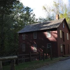
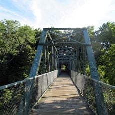
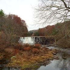
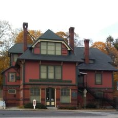
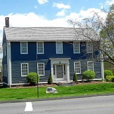
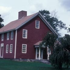
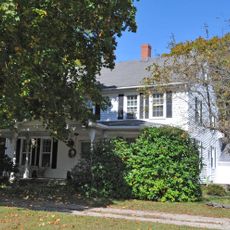
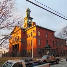
Northeastern Connecticut Planning Region, planning region in Connecticut, United States
Ort: Connecticut
Grenzt an: Capitol Planning Region, Southeastern Connecticut Planning Region, Hampden County, Worcester County, Providence County, Kent County, Washington County
Website: https://neccog.org
GPS Koordinaten: 41.78000,-71.94000
Neueste Aktualisierung: 10. März 2025 um 15:13
Canterbury Female Boarding School
9.5 km
Frog Bridge
23.7 km
Bigelow Hollow State Park
29.5 km
Roseland Cottage
19.1 km
Pachaug State Forest
20.8 km
Israel Putnam Wolf Den
8 km
Dayville Historic District
8.6 km
American Thermos Bottle Company Laurel Hill Plant
32.2 km
Hopeville Pond State Park
19.3 km
Israel Putnam Monument
1.1 km
Old Furnace State Park
6.1 km
Frog Rock
13.6 km
Leffingwell Inn
29.2 km
Nipmuck State Forest
29.1 km
Natchaug State Forest
29.1 km
Beaver Brook State Park
16.3 km
Mansfield Hollow State Park
19.6 km
Mashamoquet Brook State Park
8.7 km
Willimantic Footbridge
24 km
Moosup Valley State Park Trail
9.5 km
Windham Textile and History Museum
23.4 km
William Williams House
27.8 km
John Trumbull Birthplace
27.9 km
Ashlawn
18.7 km
Quaddick State Park
22.3 km
Windham Town Hall
24.2 km
Salt Rock State Campground
20.3 km
Central Village Historic District
7.4 kmBewertungen
Diesen Ort besucht? Tippe auf die Sterne, um ihn zu bewerten und deine Erfahrung oder Fotos mit der Community zu teilen! Jetzt ausprobieren! Sie können jederzeit kündigen.
Entdecke verborgene Schätze auf jedem Abenteuer!
Von charmanten kleinen Cafés bis zu versteckten Aussichtspunkten – entfliehe dem Touristentrubel und finde Orte, die wirklich zu dir passen. Unsere App macht's dir leicht: Sprachsuche, clevere Filter, optimierte Routen und echte Geheimtipps von Reisenden weltweit. Jetzt runterladen und das Abenteuer mobil erleben!
Ein neuer Ansatz für touristische Entdeckungen❞
— Le Figaro
Alle Orte, die eine Entdeckung wert sind❞
— France Info
Ein maßgeschneiderter Ausflug mit nur wenigen Klicks❞
— 20 Minutes