
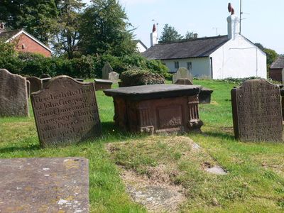
Group of 18 chest tombs, approximately 2 metres from the southeast corner of Church of St Nicholas
Group of 18 chest tombs, approximately 2 metres from the southeast corner of Church of St Nicholas, Grade II listed building in Burton, near Neston, Cheshire, UK
Ort: Cheshire West and Chester
GPS Koordinaten: 53.26150,-3.02480
Neueste Aktualisierung: 4. März 2025 um 23:49

Burton Manor
325 m
Ness Botanic Gardens
1.7 km
St Michael's Church, Shotwick
3.2 km
Shotwick Hall
3 km
Burton Point
1.6 km
St Nicholas' Church, Burton
26 m
Bishop Wilson's House
332 m
Front garden walls and gatepiers at Shotwick Hall
3 km
Tombchest of Robert and Martha Ellison, 10 metres southwest of south corner of tower of Church of St Michael
3.2 km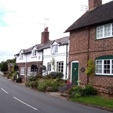
Rake Farm Cottage
287 m
Manor Farmhouse
3.2 km
Tombchest of Rev M Reay and 4 children, 8 metres south of south porch of Church of St Michael
3.2 km
Footpath Guidepost At Junction Of Pipers Lane Opposite The White House
1.4 km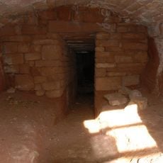
Ice house approximately 75 metres south west of Burton Manor
432 m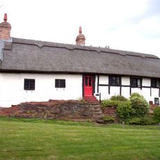
Barn End
235 m
Former kitchen or bakehouse attached to north east corner of Shotwick Hall
3 km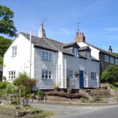
Plessington Cottage
73 m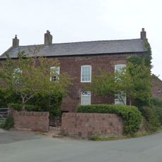
Laburnam Farmhouse And Garden Walls Attached At Front
2.3 km
L-shaped ranges of farm buildings 60 metres north of Shotwick Hall
3 km
Tombchest of John Nevett Bennett, 5 metres west of south porch of St Michael's Church
3.2 km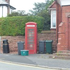
K6 Telephone Kiosk In Forecourt Of Post Office (Post Office Not Included)
2.3 km
Tombchest of William Briscoe (died 1723) and others, 4 metres west of priest's door to St Michael's Church
3.2 km
Vicarage Farmhouse
3.2 km
Tombchest of William Briscoe (died 1704) and others, 5 metres southwest of priest's door to St Michael's Church
3.2 km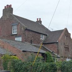
Goldstraw Farmhouse And Attached Farm Building To North West
2.2 km
Footpath Guidepost 5 Metres North Of Top Lodge
1.7 km
Milestone, Chester High Road, just N of hospital entrance
3 km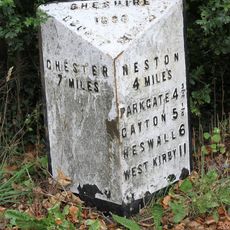
Milepost, S of Badgers Rake House
2.3 kmBewertungen
Diesen Ort besucht? Tippe auf die Sterne, um ihn zu bewerten und deine Erfahrung oder Fotos mit der Community zu teilen! Jetzt ausprobieren! Sie können jederzeit kündigen.
Entdecke verborgene Schätze auf jedem Abenteuer!
Von charmanten kleinen Cafés bis zu versteckten Aussichtspunkten – entfliehe dem Touristentrubel und finde Orte, die wirklich zu dir passen. Unsere App macht's dir leicht: Sprachsuche, clevere Filter, optimierte Routen und echte Geheimtipps von Reisenden weltweit. Jetzt runterladen und das Abenteuer mobil erleben!

Ein neuer Ansatz für touristische Entdeckungen❞
— Le Figaro
Alle Orte, die eine Entdeckung wert sind❞
— France Info
Ein maßgeschneiderter Ausflug mit nur wenigen Klicks❞
— 20 Minutes