Wind, Wave and Sail
GPS Koordinaten: 51.47982,0.18230
Neueste Aktualisierung: 4. November 2025 um 18:19
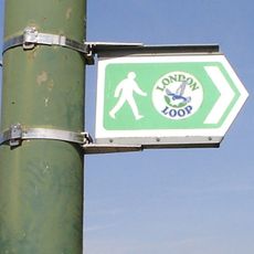
London Outer Orbital Path
476 m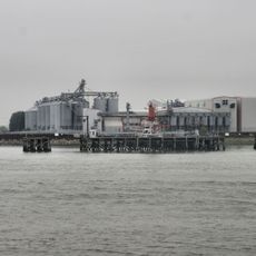
Tilda
2.4 km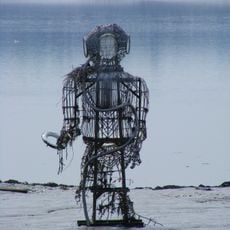
The Diver
2 km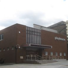
Erith Playhouse
158 m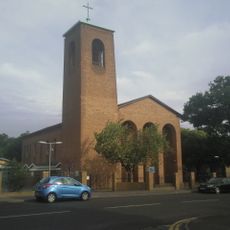
Our Lady of the Angels Church, Erith
1.4 km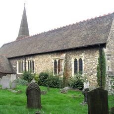
Parish Church of St John the Baptist
1.2 km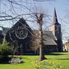
Parish Church of All Saints
2.4 km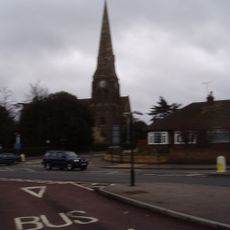
Christ Church
393 m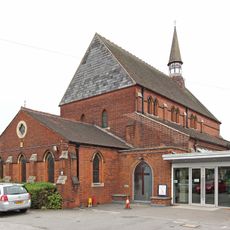
St Paul's
1.7 km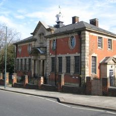
Erith Old Library
356 m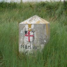
Coal Duty Boundary Marker (On Foreshore, At Mouth Of River Darenth, West Bank)
2.4 km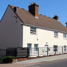
28 And 30, Erith High Street
199 m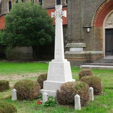
Erith (Christ Church) War Memorial
409 m
World War II Heavy Anti-Aircraft (Haa) Battery
1.7 km
Crayford Manor House
2.5 km
Large Barn At Howbury Farm
1.6 km
First World War Memorial at St John the Baptist Church, Erith
1.2 km
The X-Ray Department, Formerly The Underground Hospital, Erith And District Hospital
1.2 km
Bexley College (Former Erith Technical Institute) Including Attached Walls Railings And Gatepiers
1.9 km
Howbury moated site
1.7 km
Tivoli Cinema
916 m
Erith Museum
354 m
Vue Dagenham
582 m
Barnehurst Golf Course
2.3 km
Earth Core Columns
315 m
Kunstwerk, Skulptur
354 m
Kunstwerk, Kachel
491 m
Aussichtspunkt
1.6 kmBewertungen
Diesen Ort besucht? Tippe auf die Sterne, um ihn zu bewerten und deine Erfahrung oder Fotos mit der Community zu teilen! Jetzt ausprobieren! Sie können jederzeit kündigen.
Entdecke verborgene Schätze auf jedem Abenteuer!
Von charmanten kleinen Cafés bis zu versteckten Aussichtspunkten – entfliehe dem Touristentrubel und finde Orte, die wirklich zu dir passen. Unsere App macht's dir leicht: Sprachsuche, clevere Filter, optimierte Routen und echte Geheimtipps von Reisenden weltweit. Jetzt runterladen und das Abenteuer mobil erleben!

Ein neuer Ansatz für touristische Entdeckungen❞
— Le Figaro
Alle Orte, die eine Entdeckung wert sind❞
— France Info
Ein maßgeschneiderter Ausflug mit nur wenigen Klicks❞
— 20 Minutes