
Jelení vrch, protected area in Czech Republic
Ort: Klatovy
Gründung: 16. August 1966
GPS Koordinaten: 49.38460,13.42590
Neueste Aktualisierung: 3. April 2025 um 18:08

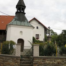
Chapel in Kroměždice
3.2 km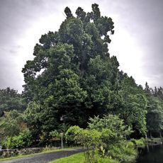
Vracovská lípa
971 m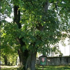
Zdebořická lípa
2.4 km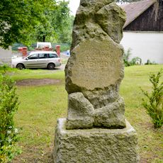
Antonín Švehla monument in Kroměždice
3.2 km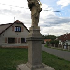
Socha svatého Jana Nepomuckého
2.8 km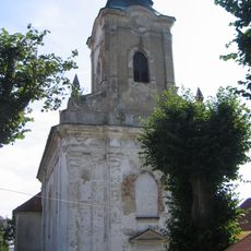
Church of Saint Blaise in Plánice
3.1 km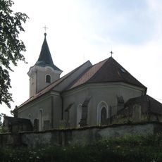
Church of Saint Giles
2.4 km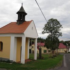
Kaplička
3.6 km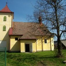
Church of Saints Peter and Paul
1.6 km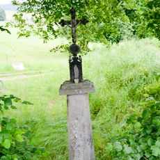
Wayside cross in Plánice
2.9 km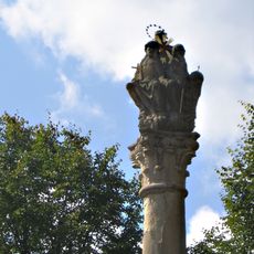
Holy Trinity column in Plánice
3.6 km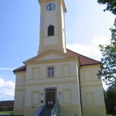
Town hall in Plánice
3.6 km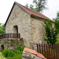
Granary by čp. 4 in Vítkovice
2 km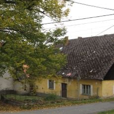
Zemědělský dvůr čp. 1
1.6 km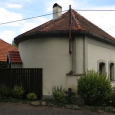
Bývalá márnice u kostela svatého Blažeje
3.1 km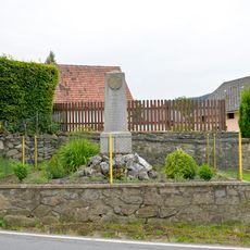
WW I memorial in Kroměždice
3.2 km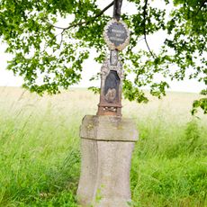
Wayside cross by Kroměždice
3.3 km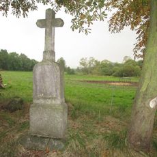
Kříž u polní cesty jižně od Kroměždic
3 km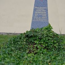
War grave with remains of Ivan Sergejevicch Filimonov
3.6 km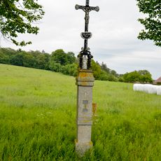
Cross west of Vitkovice north of the crossroads
2.5 km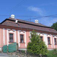
Fara
3.2 km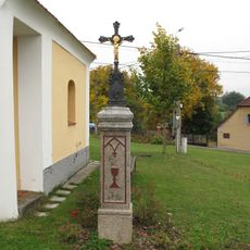
Kříž u kaple v Myslovicích
3.6 km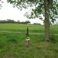
Kříž jižně od Pečetína
3.6 km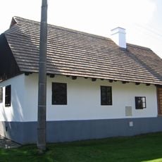
Rodný dům Františka Křižíka
3 km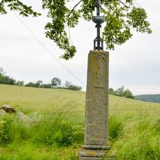
Wayside cross in Kroměždice
2.9 km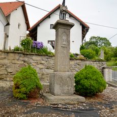
Cross by chapel in Kroměždice
3.2 km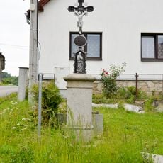
Wayside cross in Plánice
3.1 km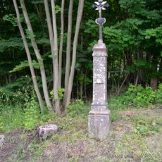
Wayside cross in Plánice
2.7 kmBewertungen
Diesen Ort besucht? Tippe auf die Sterne, um ihn zu bewerten und deine Erfahrung oder Fotos mit der Community zu teilen! Jetzt ausprobieren! Sie können jederzeit kündigen.
Entdecke verborgene Schätze auf jedem Abenteuer!
Von charmanten kleinen Cafés bis zu versteckten Aussichtspunkten – entfliehe dem Touristentrubel und finde Orte, die wirklich zu dir passen. Unsere App macht's dir leicht: Sprachsuche, clevere Filter, optimierte Routen und echte Geheimtipps von Reisenden weltweit. Jetzt runterladen und das Abenteuer mobil erleben!

Ein neuer Ansatz für touristische Entdeckungen❞
— Le Figaro
Alle Orte, die eine Entdeckung wert sind❞
— France Info
Ein maßgeschneiderter Ausflug mit nur wenigen Klicks❞
— 20 Minutes