
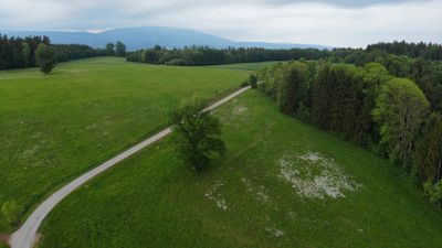
Dub v Kunčicích nad Labem, memorable tree in Trutnov District, Czech Republic
Ort: Kunčice nad Labem
Höhe: 25 m
GPS Koordinaten: 50.58268,15.63210
Neueste Aktualisierung: 4. März 2025 um 20:51

Church of Saint George
3 km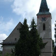
Church of Saint James the Greater (Dolní Lánov)
3 km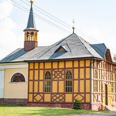
Chapel of Virgin Mary
680 m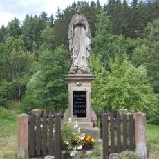
Statue of Virgin Mary in Horní Kalná
2.1 km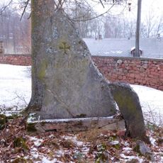
World War I Memorial in Dolní Lánov
3 km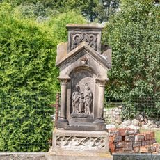
Kříž
1.9 km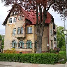
Dolní Branná čp. 208
1.5 km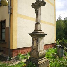
Cross near house no. 124 in Dolní Branná
1.5 km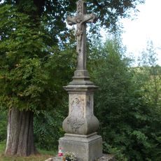
Wayside cross
3 km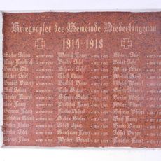
Plaques to World War I victims in Dolní Lánov
3 km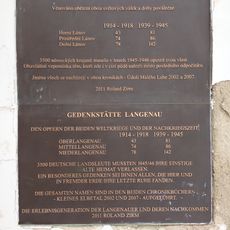
Plaque to victims of World Wars I and II and post-war events in Dolní Lánov
3 km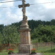
Wayside cross (Dolní Lánov)
2.5 km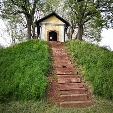
Chapel in Dolní Branná
3 km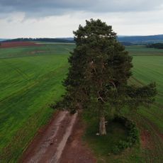
Borovice v Horní Kalné
1.1 km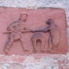
Relief with village emblem in Dolní Lánov
3 km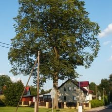
Jilm horský
2.7 km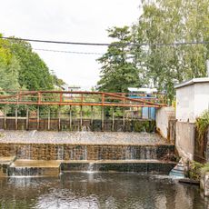
Jez
2.5 km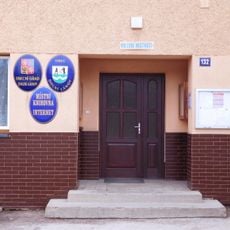
Municipal Library of Dolní Lánov
2.5 km
Dubová alej u Zámečku na Podhůří
1.4 km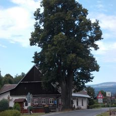
Tilia platyphyllos in Dolní Lánov
2.8 km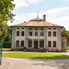
Krönigova vila
2 km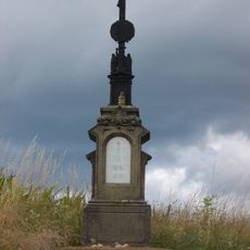
Crucifix in Horní Kalná
1.5 km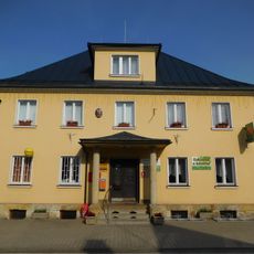
Dolní Branná municipal office
2.9 km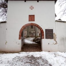
Main gate of Dolní Lánov cemetery
3 km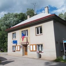
Horní Kalná municipal office
2.3 km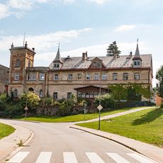
Zámek Podhůří u Vrchlabí
1.8 km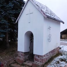
Chapel in Dolní Lánov
2.6 km
Northern gate of Dolní Lánov cemetery
3 kmBewertungen
Diesen Ort besucht? Tippe auf die Sterne, um ihn zu bewerten und deine Erfahrung oder Fotos mit der Community zu teilen! Jetzt ausprobieren! Sie können jederzeit kündigen.
Entdecke verborgene Schätze auf jedem Abenteuer!
Von charmanten kleinen Cafés bis zu versteckten Aussichtspunkten – entfliehe dem Touristentrubel und finde Orte, die wirklich zu dir passen. Unsere App macht's dir leicht: Sprachsuche, clevere Filter, optimierte Routen und echte Geheimtipps von Reisenden weltweit. Jetzt runterladen und das Abenteuer mobil erleben!

Ein neuer Ansatz für touristische Entdeckungen❞
— Le Figaro
Alle Orte, die eine Entdeckung wert sind❞
— France Info
Ein maßgeschneiderter Ausflug mit nur wenigen Klicks❞
— 20 Minutes