Dry Fork Plantation, human settlement in Alabama, United States of America
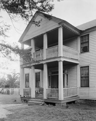
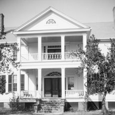
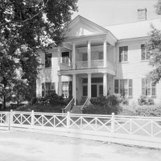
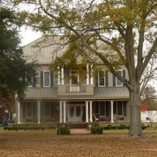
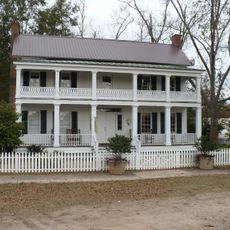
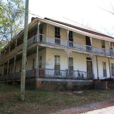
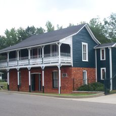
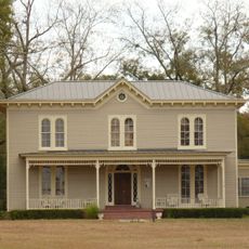
Dry Fork Plantation ist ein zweigeschossiges Farmhaus aus der Mitte der 1830er Jahre mit Holzverkleidung und einem Giebeldach. Das Haus hat acht Zimmer von etwa 5,5 Metern Breite mit hohen Decken, einen zentralen Flur mit Räumen auf beiden Seiten und wurde mit über 25.000 Holzstücken und etwa 12.000 Ziegeln gebaut, die vor Ort hergestellt wurden.
Das Haus wurde 1832 bis 1834 für James Asbury Tait erbaut, einen wohlhabenden Pflanzer aus Maryland, der ein großes Landgut mit Hunderten von versklavten Menschen verwaltete. Im Jahr 1999 wurde es in das nationale Register der historischen Orte aufgenommen und ist heute das älteste dokumentierte Haus in Wilcox County, Alabama.
Der Name "Dry Fork" bezieht sich auf einen Bachlauf in der Gegend, der für die frühe Besiedlung wichtig war. Das Haus spiegelt die Vorstellung von Wohlstand und Familie wider, die in der ländlichen Gesellschaft des 19. Jahrhunderts geschätzt wurden.
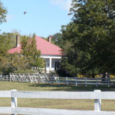
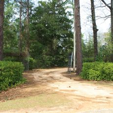
Das Haus liegt auf einem ruhigen Land etwa 400 Meter östlich einer Hauptstraße in Sedan und ist von der Straße aus sichtbar, aber es ist ein privater Wohnort. Besucher sollten das Haus vom Straßenrand aus betrachten und die Privatsphäre der Bewohner respektieren, da das Parken nicht verfügbar ist und der Zugang zu Fuß eingeschränkt ist.
Das Haus wurde von versklavten Handwerkern namens Hezekiah und Elijah gebaut, die die dekorativen Holzarbeiten im Inneren handfertigten, darunter geschnitzte Kamine, Türen und Gesimse mit Mustern wie Fächerformen und Chevrons. Diese handwerkliche Arbeit wird heute als wichtiger Teil der architektonischen Leistung des Hauses anerkannt.
Die Community neugieriger Reisender
AroundUs vereint tausende ausgewählte Orte, lokale Tipps und versteckte Schätze, täglich bereichert von über 60,000 Mitwirkenden weltweit.