Rugged Point Marine Provincial Park, Canadian provincial park
Ort: British Columbia
Gründung: 1989
GPS Koordinaten: 49.96389,-127.23889
Neueste Aktualisierung: 15. Oktober 2025 um 14:40

Golden Hinde
112.3 km
Strathcona Provincial Park
117.4 km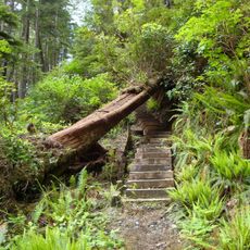
Cape Scott Provincial Park
115.7 km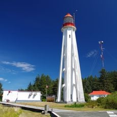
Estevan Point lighthouse
81.8 km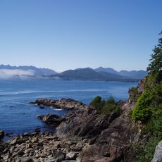
Brooks-Halbinsel
43.5 km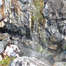
Ramsay Hot Springs
97.9 km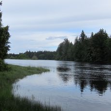
Nimpkish River
51 km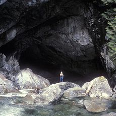
Artlish Caves Provincial Park
32.2 km
Salmon River
103.9 km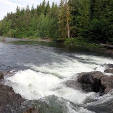
Marble River Provincial Park
67.5 km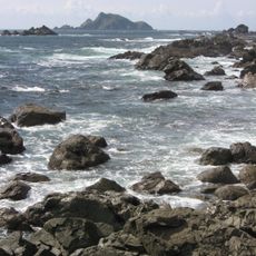
Solander Island Ecological Reserve
12.2 km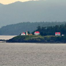
Scarlett Point Lighthouse
103.3 km
Raft Cove Provincial Park
98.8 km
Gibson Marine Provincial Park
114.7 km
Quatsino Provincial Park
71.7 km
Woss Lake Provincial Park
46.8 km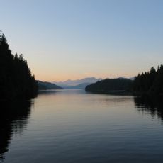
Flores Island Provincial Park
106.6 km
Echo Bay Marine Provincial Park
102.3 km
Bligh Island Marine Provincial Park
62.2 km
Broughton Archipelago Marine Provincial Park
89.3 km
Big Bunsby Marine Provincial Park
26.2 km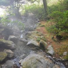
Maquinna Marine Provincial Park
90.1 km
Muchalat Inlet
78.9 km
Zeballos Peak
36.7 km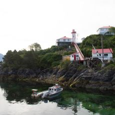
Nootka Lighthouse
61 km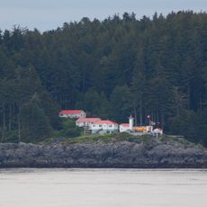
Pine Island Lighthouse
117.8 km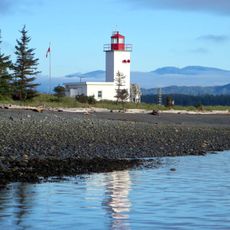
Pulteney Point Lighthouse
74.4 km
Kunstwerk, Skulptur
69.3 kmBewertungen
Diesen Ort besucht? Tippe auf die Sterne, um ihn zu bewerten und deine Erfahrung oder Fotos mit der Community zu teilen! Jetzt ausprobieren! Sie können jederzeit kündigen.
Entdecke verborgene Schätze auf jedem Abenteuer!
Von charmanten kleinen Cafés bis zu versteckten Aussichtspunkten – entfliehe dem Touristentrubel und finde Orte, die wirklich zu dir passen. Unsere App macht's dir leicht: Sprachsuche, clevere Filter, optimierte Routen und echte Geheimtipps von Reisenden weltweit. Jetzt runterladen und das Abenteuer mobil erleben!

Ein neuer Ansatz für touristische Entdeckungen❞
— Le Figaro
Alle Orte, die eine Entdeckung wert sind❞
— France Info
Ein maßgeschneiderter Ausflug mit nur wenigen Klicks❞
— 20 Minutes