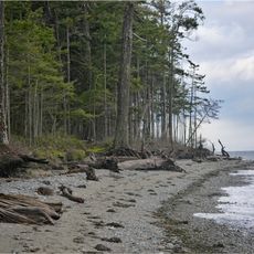
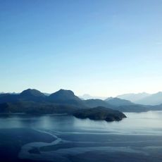
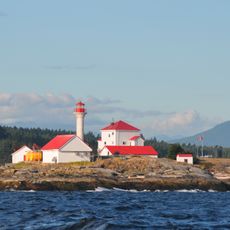
Sargeant Bay Provincial Park, provincial park in British Columbia, Canada
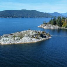
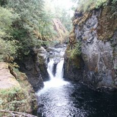
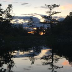
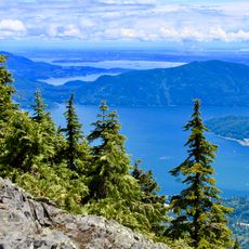
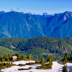
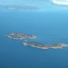
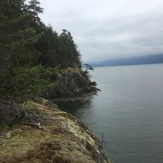
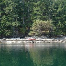
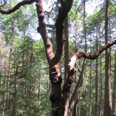
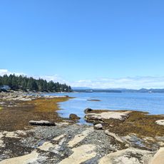
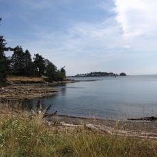
Sargeant Bay Provincial Park ist ein Schutzgebiet an der Küste der Sunshine Coast mit Strand, Waldflächen und Feuchtgebieten. Das Park-Gelände erstreckt sich über etwa einhundertzweiundvierzig Hektar und verbindet offene Strände mit dichten Wäldern, durchzogen von Wegen, die zu einem Fischaufstieg, einem Biberdamm und dem Colvin Lake führen.
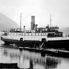
Das Gebiet wurde von frühen Bewohnern zum Fischen und Sammeln von Nahrung genutzt. Der Park selbst wurde 1990 gegründet und später erweitert, um mehr natürliche Räume zu schützen und für Besucher zugänglich zu machen.
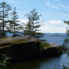
Der Park trägt den Namen Sargeant Bay, benannt nach den frühen Bewohnern und Nutzern dieser Küstenregion. Heute zeigt sich die kulturelle Bedeutung in der Art, wie Besucher den Ort nutzen: Spaziergänge am Strand, Vogelbeobachtung und das stille Verweilen in der Natur sind alltägliche Aktivitäten, die die Verbindung zwischen Menschen und diesem Küstenort widerspiegeln.
Der Park ist nur tagsüber geöffnet, es gibt keine Übernachtungsmöglichkeiten oder Campingplätze, aber Picknick-Bereiche sind vorhanden. Besucher sollten beachten, dass das Wasser kalt ist, es keine Rettungsschwimmer gibt und Haustiere an der Leine gehalten und von den Stränden ferngehalten werden müssen.
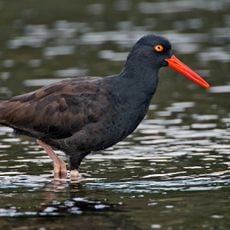
Über einhundertsiebenundfünfzig Vogelarten wurden im Park nachgewiesen, was ihn zu einem hervorragenden Ort für Vogelbeobachter macht. Die Kombination aus Feuchtgebieten, Waldflächen und Meeresstreifen schafft ideale Bedingungen für verschiedenste Vogelhabitate.
Die Community neugieriger Reisender
AroundUs vereint tausende ausgewählte Orte, lokale Tipps und versteckte Schätze, täglich bereichert von über 60,000 Mitwirkenden weltweit.