
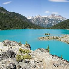
Blue Earth Lake Provincial Park, provincial park in British Columbia, Canada, located in the Upper Hat Creek area at the south end of the Cornwall Hills, just northwest of Ashcroft
Ort: Thompson-Nicola Regional District
GPS Koordinaten: 50.60000,-121.51700
Neueste Aktualisierung: 14. März 2025 um 21:39
Joffre Lakes Provincial Park
73.8 km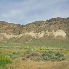
McAbee Fossil Beds
34.4 km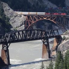
Cisco-Brücken
50.1 km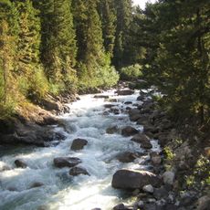
Cayoosh Creek
50.4 km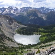
Stein Valley Nlaka'pamux Heritage Park
51.4 km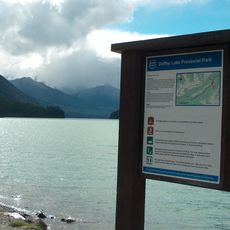
Duffey Lake Provincial Park
62.3 km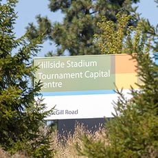
Hillside Stadium
81.6 km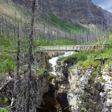
Marble Canyon
28.5 km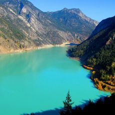
Carpenter Lake
74.7 km
Chasm Provincial Park
64.7 km
Deadman River
69.4 km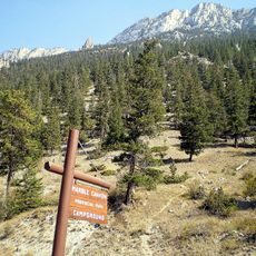
Marble Canyon Provincial Park
32.9 km
Lac du Bois Grasslands Protected Area
76.6 km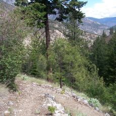
Skihist Provincial Park
37.7 km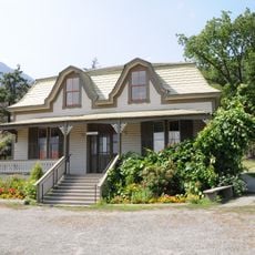
Miyazaki House
31.3 km
Bridge of the Twenty-Three Camels
30.5 km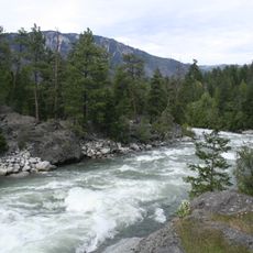
Stein River
47.9 km
Juniper Beach Provincial Park
37 km
Bridge River Rapids
33.8 km
Lillooet Suspension Bridge
30.5 km
Lytton CNR Fraser Bridge
42.1 km
Seton River
43.8 km
Lytton CNR Thompson Bridge
40.7 km
French Bar Canyon
81.8 km
North Thompson Lift Bridge
83 km
Nlháxten/Cerise Creek Conservancy
70.3 km
CPR Cisco Bridge
50.4 km
Lac Le Jeune Provincial Park
75.4 kmBewertungen
Diesen Ort besucht? Tippe auf die Sterne, um ihn zu bewerten und deine Erfahrung oder Fotos mit der Community zu teilen! Jetzt ausprobieren! Sie können jederzeit kündigen.
Entdecke verborgene Schätze auf jedem Abenteuer!
Von charmanten kleinen Cafés bis zu versteckten Aussichtspunkten – entfliehe dem Touristentrubel und finde Orte, die wirklich zu dir passen. Unsere App macht's dir leicht: Sprachsuche, clevere Filter, optimierte Routen und echte Geheimtipps von Reisenden weltweit. Jetzt runterladen und das Abenteuer mobil erleben!

Ein neuer Ansatz für touristische Entdeckungen❞
— Le Figaro
Alle Orte, die eine Entdeckung wert sind❞
— France Info
Ein maßgeschneiderter Ausflug mit nur wenigen Klicks❞
— 20 Minutes