
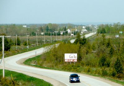
Gordon/Barrie Island, township municipality in Manitoulin District, Ontario, Canada
Ort: Manitoulin District
Gründung: 1. Januar 2009
Website: http://gordonbarrieisland.ca
Grenzt an: The North Shore
Website: http://gordonbarrieisland.ca
GPS Koordinaten: 45.90000,-82.63330
Neueste Aktualisierung: 15. März 2025 um 04:57
Killarney Provincial Park
102.6 km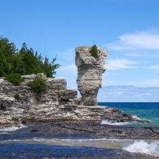
Fathom Five National Marine Park
101.5 km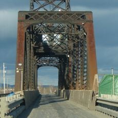
Little Current Swing Bridge
56.4 km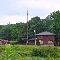
La Cloche Provincial Park
52.3 km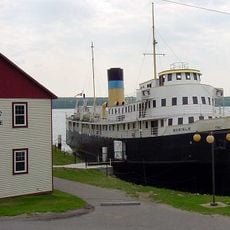
SS Norisle
36.7 km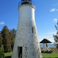
Old Presque Isle Light
90.5 km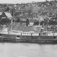
SS Russia (1872)
73.6 km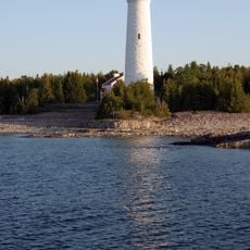
Cove Island Light
94.7 km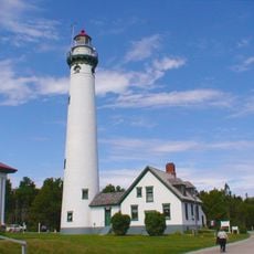
New Presque Isle Light
90.2 km
Rockport State Recreation Area
98 km
Chutes Provincial Park
56.3 km
Killarney Provincial Park Observatory
96.3 km
Fort Drummond
95.4 km
Thompson's Harbor State Park
95.7 km
Holy Cross Church, Wikwemikong
72.3 km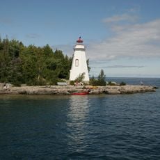
Big Tub Lighthouse
103.5 km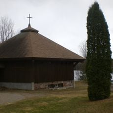
Anishinabe Spiritual Centre
78.6 km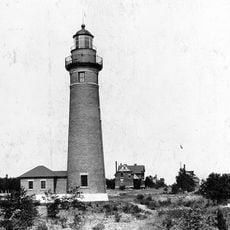
Middle Island Light
95.2 km
Rydal Bank Church
99.8 km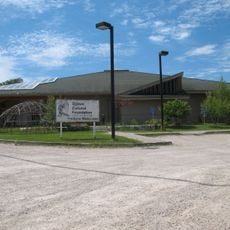
Ojibwe Cultural Foundation
37.4 km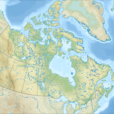
Fire Tower Mountain
45.8 km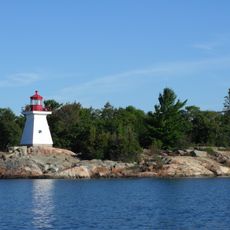
Killarney East Lighthouse
88.9 km
Drummond Island Historical Museum
87.1 km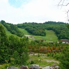
Mount Dufour
54.9 km
Maxton Plains
82.1 km
Flowerpot Island Lighthouse
103.2 km
Drummond Island Ferry
98.5 km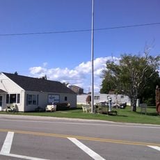
Detour Museum
98.6 kmBewertungen
Diesen Ort besucht? Tippe auf die Sterne, um ihn zu bewerten und deine Erfahrung oder Fotos mit der Community zu teilen! Jetzt ausprobieren! Sie können jederzeit kündigen.
Entdecke verborgene Schätze auf jedem Abenteuer!
Von charmanten kleinen Cafés bis zu versteckten Aussichtspunkten – entfliehe dem Touristentrubel und finde Orte, die wirklich zu dir passen. Unsere App macht's dir leicht: Sprachsuche, clevere Filter, optimierte Routen und echte Geheimtipps von Reisenden weltweit. Jetzt runterladen und das Abenteuer mobil erleben!

Ein neuer Ansatz für touristische Entdeckungen❞
— Le Figaro
Alle Orte, die eine Entdeckung wert sind❞
— France Info
Ein maßgeschneiderter Ausflug mit nur wenigen Klicks❞
— 20 Minutes