
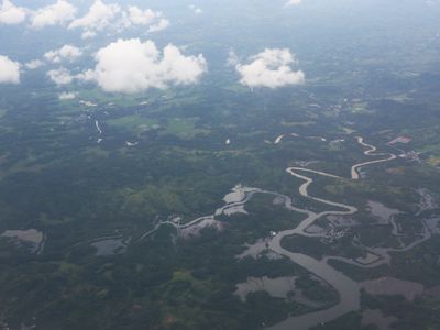
Villareal, Gemeinde auf den Philippinen
Ort: Samar
Höhe über dem Meer: 18 m
Grenzt an: Zumarraga, Talalora, Santa Rita, Pinabacdao
Website: http://villarealsamar.com
GPS Koordinaten: 11.56667,124.93333
Neueste Aktualisierung: 7. März 2025 um 22:16

San-Juanico-Brücke
29.7 km
MacArthur Landing Memorial National Park
44.7 km
Biliran
43.7 km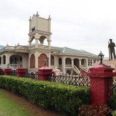
Price Mansion
36.7 km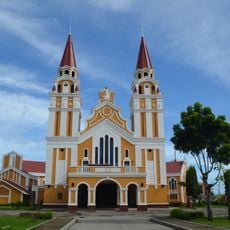
Palo Cathedral
45.8 km
Leyte Provincial Capitol
36 km
Biliran Watchtower
50.8 km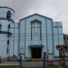
Borongan Cathedral
54.6 km
Langun-Gobingob Cave
14.9 km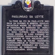
Leyte Landing historical marker
44.7 km
Leyte Park
36.1 km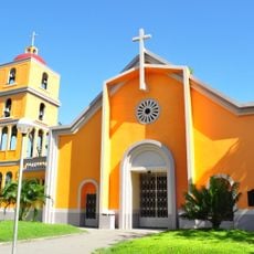
Tanauan Church
51.4 km
Patio Victoria Baluarte Beach Resort
41.2 km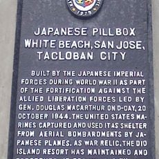
Japanese Pillbox historical marker
41.3 km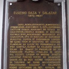
Eugenio Daza y Salazar historical marker
54.7 km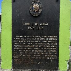
Jaime C. de Veyra historical marker
51.5 km
Basey Church
35.1 km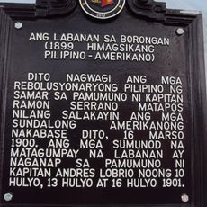
The Battle of Borongan historical marker
54.7 km
Biliran Watchtower historical marker
50.8 km
Church of Basey historical marker
35.1 km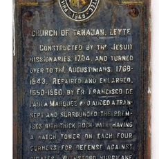
Church of Tanauan, Leyte historical marker
51.4 km
Capitol Building of the Philippines historical marker
36 km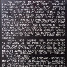
Cathedral of Borongan historical marker
54.6 km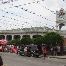
Price Mansion
36.8 km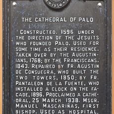
The Cathedral of Palo historical marker
45.8 km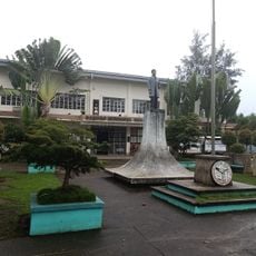
Barugo Municipal Hall
34.5 km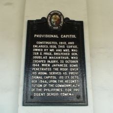
Provisional Capitol historical marker
36.8 km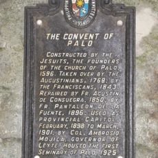
The Convent of Palo historical marker
45.7 kmDiesen Ort besucht? Tippe auf die Sterne, um ihn zu bewerten und deine Erfahrung oder Fotos mit der Community zu teilen! Jetzt ausprobieren! Sie können jederzeit kündigen.
Entdecke verborgene Schätze auf jedem Abenteuer!
Von charmanten kleinen Cafés bis zu versteckten Aussichtspunkten – entfliehe dem Touristentrubel und finde Orte, die wirklich zu dir passen. Unsere App macht's dir leicht: Sprachsuche, clevere Filter, optimierte Routen und echte Geheimtipps von Reisenden weltweit. Jetzt runterladen und das Abenteuer mobil erleben!

Ein neuer Ansatz für touristische Entdeckungen❞
— Le Figaro
Alle Orte, die eine Entdeckung wert sind❞
— France Info
Ein maßgeschneiderter Ausflug mit nur wenigen Klicks❞
— 20 Minutes