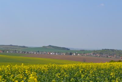
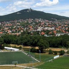
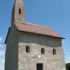
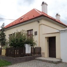
Podhorany, municipality in Nitra District, Slovakia
Ort: District of Nitra
Website: https://www.podhorany.sk/
Website: https://podhorany.sk
GPS Koordinaten: 48.38494,18.10958
Neueste Aktualisierung: 24. März 2025 um 23:19
Zobor
4.3 km
Erzengel-Michael-Kirche
5.1 km
Transmitter Zobor
4.7 km
Žibrica
3.7 km
Kloster Zobor
4.6 km
Zoborská lesostep
4.2 km
Svoradova jaskyňa
4.4 km
Zobor Abbey
4.6 km
Žibrica
3.8 km
Kostol svätého Martina (Nitra)
7.7 km
St. Urban Kirche
6.2 km
Kostol svätej Márie Magdalény (Jelšovce)
3.7 km
Areál farského kostola, súsošie-socha I.
5.2 km
Areál farského kostola, súsošie-socha III.
5.2 km
Areál farského kostola, súsošie-socha II.
5.2 km
Farský kostol sv. Štefana kráľa
6.6 km
Starší kaštieľ, malý, kaštieľ
5 km
Nitriansky hrad, veža nárožná
7.6 km
Nitriansky hrad, nádvoria hradné I.
7.6 km
Nitriansky hrad, studňa hradná
7.6 km
Areál farského kostola, kostol
5.2 km
Nitriansky hrad, bastión V.
7.6 km
Kríž pri kostole, pilier s podstavcom
3.7 km
Areál farského kostola, fara pamätná
5.2 km
Areál farského kostola, súsošie-kríž s korpusom
5.2 km
Kríž pri kostole, kríž s korpusom
3.7 km
Areál farského kostola, krypta
5.2 km
Filiálny kostol sv. Kataríny, opevnenie kostola
5.6 kmBewertungen
Diesen Ort besucht? Tippe auf die Sterne, um ihn zu bewerten und deine Erfahrung oder Fotos mit der Community zu teilen! Jetzt ausprobieren! Sie können jederzeit kündigen.
Entdecke verborgene Schätze auf jedem Abenteuer!
Von charmanten kleinen Cafés bis zu versteckten Aussichtspunkten – entfliehe dem Touristentrubel und finde Orte, die wirklich zu dir passen. Unsere App macht's dir leicht: Sprachsuche, clevere Filter, optimierte Routen und echte Geheimtipps von Reisenden weltweit. Jetzt runterladen und das Abenteuer mobil erleben!
Ein neuer Ansatz für touristische Entdeckungen❞
— Le Figaro
Alle Orte, die eine Entdeckung wert sind❞
— France Info
Ein maßgeschneiderter Ausflug mit nur wenigen Klicks❞
— 20 Minutes