
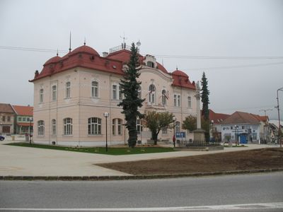
Obecný úrad, radnica, býv. hosti., národná kultúrna pamiatka v obci Nitrianske Pravno, okrese Prievidza
Ort: Nitrianske Pravno
Gründung: 1640
Architekturstil: Art Nouveau architecture
GPS Koordinaten: 48.87150,18.63390
Neueste Aktualisierung: 29. November 2025 um 17:56

Cesta hrdinov SNP
5.5 km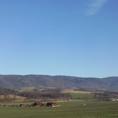
Žiar
6 km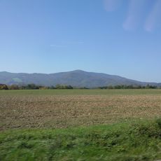
Magura
7.7 km
Vyšehrad
4.8 km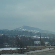
Vyšehrad
4.9 km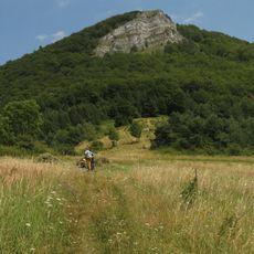
Temešská skala
10.2 km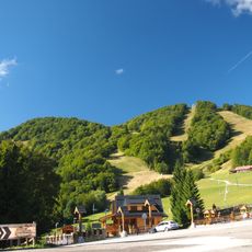
Homôľka
9.8 km
Vyšehrad
4.8 km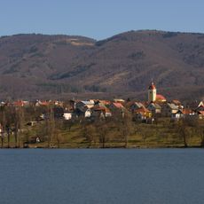
Boškovie laz
8.5 km
Malá Magura
8.7 km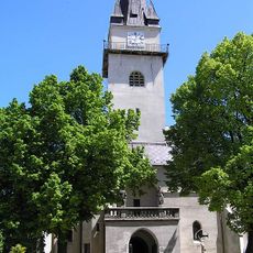
Church of the Beheading of Saint John the Baptist in Nitrianske Pravno
140 m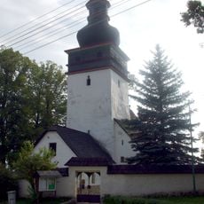
Kostol
5.4 km
Farský kostol Všetkých svätých, brána
10.1 km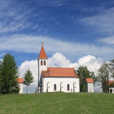
Kalvária, kalvária
1.2 km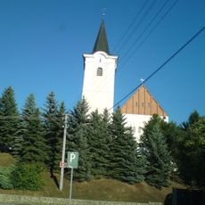
Kost. sv. Heleny a Krista Kráľa
6.4 km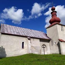
Farský kostol Všetkých svätých, kostol
10 km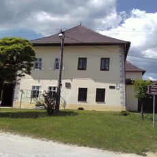
Kúria Briestenských
110 m
Pôv. kostol sv. Gála, kostol
2.8 km
Pôv. kostol sv. Gála, bašta
2.8 km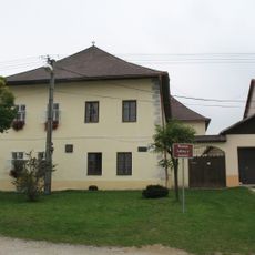
House of the Carpathian-German Society, Nitrianske Pravno
110 m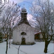
Kaplnka rod. Pálešovej
5 km
Pôv. kostol sv. Gála, múr hradbový
2.8 km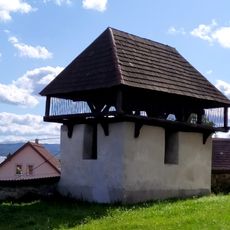
Farský kostol Všetkých svätých, zvonica
10 km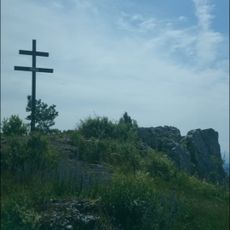
Hradisko Vyšehrad
4.8 km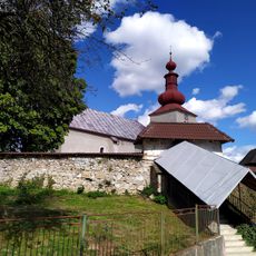
Farský kostol Všetkých svätých, múr ohradný
10 km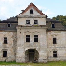
Kaštieľ Prónayovcov, kaštieľ
10.1 km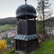
Drevená zvonica
9.2 km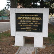
Jazykovedec, pedagóg
5.4 kmBewertungen
Diesen Ort besucht? Tippe auf die Sterne, um ihn zu bewerten und deine Erfahrung oder Fotos mit der Community zu teilen! Jetzt ausprobieren! Sie können jederzeit kündigen.
Entdecke verborgene Schätze auf jedem Abenteuer!
Von charmanten kleinen Cafés bis zu versteckten Aussichtspunkten – entfliehe dem Touristentrubel und finde Orte, die wirklich zu dir passen. Unsere App macht's dir leicht: Sprachsuche, clevere Filter, optimierte Routen und echte Geheimtipps von Reisenden weltweit. Jetzt runterladen und das Abenteuer mobil erleben!

Ein neuer Ansatz für touristische Entdeckungen❞
— Le Figaro
Alle Orte, die eine Entdeckung wert sind❞
— France Info
Ein maßgeschneiderter Ausflug mit nur wenigen Klicks❞
— 20 Minutes