
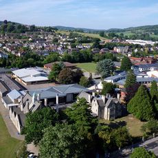
More Hall Convent, architectural structure in Randwick and Westrip, Stroud, England, UK
Ort: Randwick and Westrip
GPS Koordinaten: 51.75320,-2.24757
Neueste Aktualisierung: 20. Mai 2025 um 17:46
Marling School
1.2 km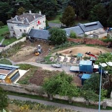
Stratford Park
1.7 km
Church of St Paul
1.3 km
Church of St John the Baptist
670 m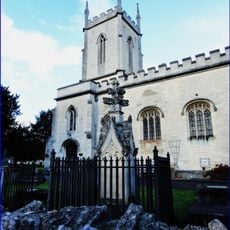
Church of St Matthew
1.2 km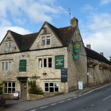
Star Inn
1.3 km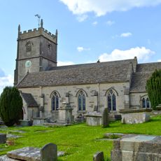
Church of St Mary Magdalene
2.1 km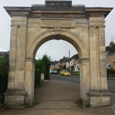
Archway, Formerly To Farm Hill Park
849 m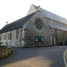
Church of the Immaculate Conception
2.1 km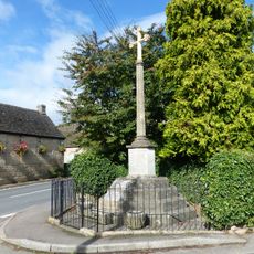
Whiteshill War Memorial
1.4 km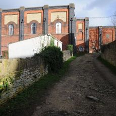
Lodgemoor Mills
1.7 km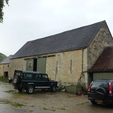
Barn approximately 10 metres south of Ruscombe Farmhouse
953 m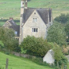
Privy approximately 30 metres west of Stokenhill Farmhouse
1.7 km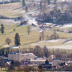
Ebley Mill
1.5 km
Stokenhill Farmhouse
1.8 km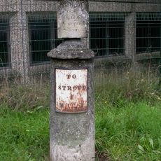
Sundial And Milepost
1.2 km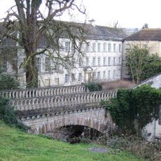
Lodgemoor Mills Bridge
1.8 km
Horseshoe Cottage
1.4 km
Rock Mill House
1.9 km
Nos 1 and 2 (Gannicox House) and No 3
1.6 km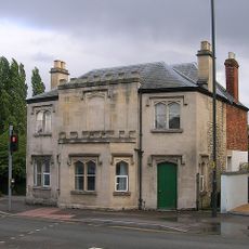
23 And 25, Westward Road
1.2 km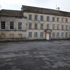
Lodgemoor Mills Office Block
1.7 km
Numbers 1 to 10 (consecutive) including iron railings to areas of Numbers 1, 2, 3 and 6
2.1 km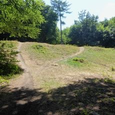
Randwick Hill long barrow, round barrows and dyke
969 m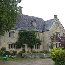
Ruscombe Farmhouse
946 m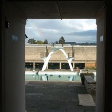
Stratford Park Diving Platform
1.5 km
Milestone, Dudbridge Road, Rodborough
1.9 km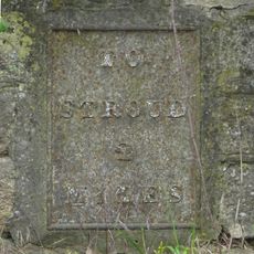
Milepost, The Tynings / Ebley
1.8 kmBewertungen
Diesen Ort besucht? Tippe auf die Sterne, um ihn zu bewerten und deine Erfahrung oder Fotos mit der Community zu teilen! Jetzt ausprobieren! Sie können jederzeit kündigen.
Entdecke verborgene Schätze auf jedem Abenteuer!
Von charmanten kleinen Cafés bis zu versteckten Aussichtspunkten – entfliehe dem Touristentrubel und finde Orte, die wirklich zu dir passen. Unsere App macht's dir leicht: Sprachsuche, clevere Filter, optimierte Routen und echte Geheimtipps von Reisenden weltweit. Jetzt runterladen und das Abenteuer mobil erleben!

Ein neuer Ansatz für touristische Entdeckungen❞
— Le Figaro
Alle Orte, die eine Entdeckung wert sind❞
— France Info
Ein maßgeschneiderter Ausflug mit nur wenigen Klicks❞
— 20 Minutes