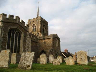
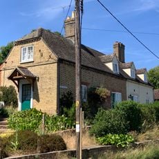
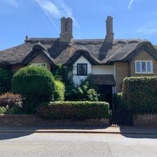
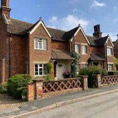
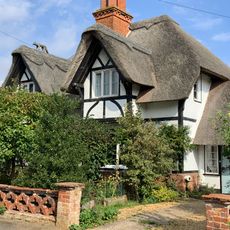
Gamlingay, Gemeinde in der englischen Grafschaft Cambridgeshire
Die Community neugieriger Reisender
AroundUs vereint tausende ausgewählte Orte, lokale Tipps und versteckte Schätze, täglich bereichert von über 60,000 Mitwirkenden weltweit.
Grenzt an
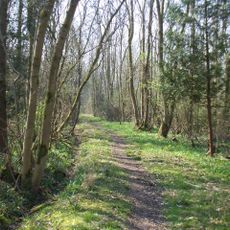
Waresley
GPS Koordinaten
52.15790,-0.19460
Neueste Aktualisierung
3. März 2025 um 03:26