Parroquia Platanillal, third-level administrative division in the Municipio Atures, Amazonas State, Venezuela
Ort: Municipio Autónomo Atures
Ort: Amazonas
Teil von: Municipio Autónomo Atures
GPS Koordinaten: 5.39847,-67.67314
Neueste Aktualisierung: 26. Oktober 2025 um 03:29
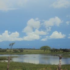
Santos Luzardo National Park
146.8 km
Cerro Autana
65.4 km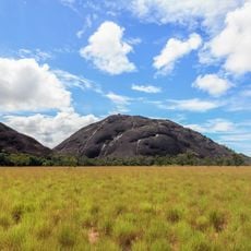
Piedra La Tortuga Natural Monument
20.6 km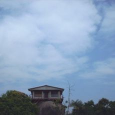
Casa sobre La Piedra
28.6 km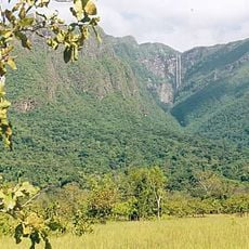
Yutaje Falls
172.9 km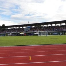
Estadio Antonio José de Sucre
30.7 km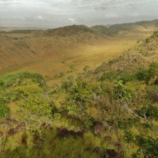
Galeras del Cinaruco
145.1 km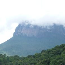
Cerro Yaví Natural Monument
199.1 km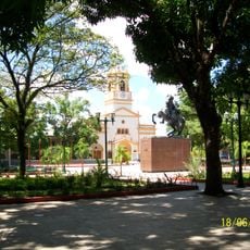
Cathedral of Mary Help of Christians, Puerto Ayacucho
30.3 km
Gran Hotel Amazonas
30.5 km
Cerros Camani y Morrocoy Natural Monument
151.3 km
Cuao-Sipapo y Moriche Massif Natural Monument
45.8 km
Monumento Natural Cerro Autana
65.4 km
Parguaza Forest Reserve
103.2 km
Sipapo Forest Reserve
52.7 km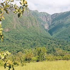
Serranía Yutajé y Coro-coro Natural Monument
168.4 km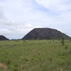
Piedra Pintada Natural Monument
20.9 km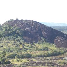
Piedra La Tortuga
20.6 km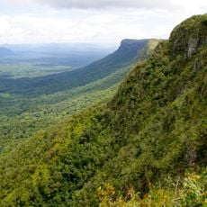
Cerro Guanay Natural Monument
152.1 km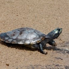
La Tortuga Arrau Wildlife Refuge
137.9 km
Comunidad Indígena de Sabanitas
170.7 km
Casa de la Piedra
28.6 km
El Tobogán de la Selva
6.3 km
Monumento Bicentenario
30.7 km
Soy amazonas
30.7 km
Kunstwerk, Skulptur
31.6 km
Installation, Kunstwerk
26.9 km
Aussichtspunkt
75.7 kmBewertungen
Diesen Ort besucht? Tippe auf die Sterne, um ihn zu bewerten und deine Erfahrung oder Fotos mit der Community zu teilen! Jetzt ausprobieren! Sie können jederzeit kündigen.
Entdecke verborgene Schätze auf jedem Abenteuer!
Von charmanten kleinen Cafés bis zu versteckten Aussichtspunkten – entfliehe dem Touristentrubel und finde Orte, die wirklich zu dir passen. Unsere App macht's dir leicht: Sprachsuche, clevere Filter, optimierte Routen und echte Geheimtipps von Reisenden weltweit. Jetzt runterladen und das Abenteuer mobil erleben!

Ein neuer Ansatz für touristische Entdeckungen❞
— Le Figaro
Alle Orte, die eine Entdeckung wert sind❞
— France Info
Ein maßgeschneiderter Ausflug mit nur wenigen Klicks❞
— 20 Minutes