
Gate And Railings To Former Churchyard Of Church Of St Botolph
Gate And Railings To Former Churchyard Of Church Of St Botolph, City of London, Greater London, EC1A
Ort: City of London
GPS Koordinaten: 51.51688,-0.09701
Neueste Aktualisierung: 5. März 2025 um 21:24

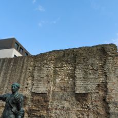
London Wall
69 m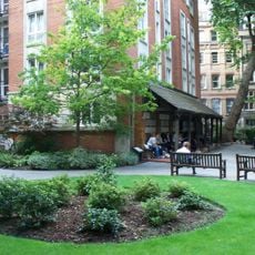
Postman’s Park
45 m
BT Centre
153 m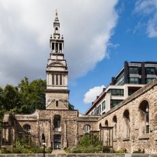
Christ Church Greyfriars
190 m
Memorial to Heroic Self-Sacrifice
60 m
General Post Office, London
148 m
Goldsmiths' Hall
155 m
Greyfriars
195 m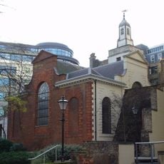
St Anne and St Agnes
70 m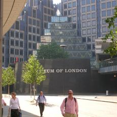
200 Aldersgate
119 m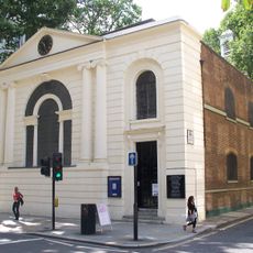
St Botolph’s Aldersgate
23 m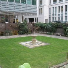
St John Zachary
133 m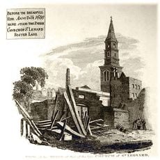
St Leonard, Foster Lane
189 m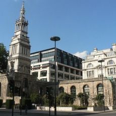
St Nicholas Shambles
169 m
King Edward Building (Post Office)
145 m
St Mary Staining
141 m
St Olave Silver Street
127 m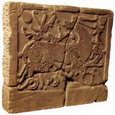
Runenstein von St Paul’s
81 m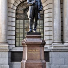
Statue of Rowland Hill
137 m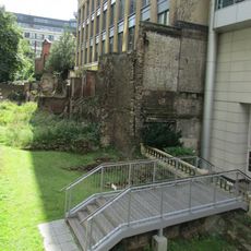
London Wall: section of Roman and medieval wall and bastion at Noble Street
84 m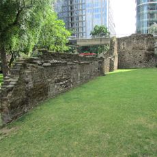
London Wall: the west gate of Cripplegate fort and a section of Roman wall in London Wall underground car park, adjacent to Nobl
130 m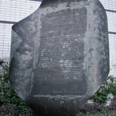
Aldersgate Flame
99 m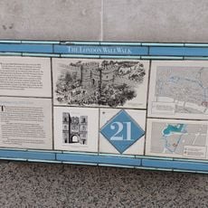
London Wall: section of Roman wall and Roman, medieval and post-medieval gateway at Aldersgate
25 m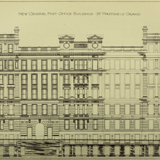
General Post Office North
55 m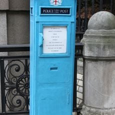
Police Call Box At North East Angle Of Number 1
9 m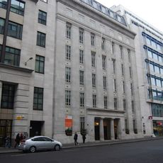
St Martins House
153 m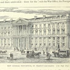
General Post Office New Building
148 m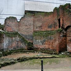
Bastion 14, London Wall
160 mBewertungen
Diesen Ort besucht? Tippe auf die Sterne, um ihn zu bewerten und deine Erfahrung oder Fotos mit der Community zu teilen! Jetzt ausprobieren! Sie können jederzeit kündigen.
Entdecke verborgene Schätze auf jedem Abenteuer!
Von charmanten kleinen Cafés bis zu versteckten Aussichtspunkten – entfliehe dem Touristentrubel und finde Orte, die wirklich zu dir passen. Unsere App macht's dir leicht: Sprachsuche, clevere Filter, optimierte Routen und echte Geheimtipps von Reisenden weltweit. Jetzt runterladen und das Abenteuer mobil erleben!

Ein neuer Ansatz für touristische Entdeckungen❞
— Le Figaro
Alle Orte, die eine Entdeckung wert sind❞
— France Info
Ein maßgeschneiderter Ausflug mit nur wenigen Klicks❞
— 20 Minutes