
Sechelt Inlets Marine Provincial Park, provincial park in British Columbia, Canada
Ort: Sunshine Coast Regional District
Gründung: 1980
GPS Koordinaten: 49.63333,-123.80000
Neueste Aktualisierung: 10. April 2025 um 09:43
Shannon Falls Provincial Park
46.2 km
Porteau Cove Provincial Park
41.6 km
Britannia Mine Museum
43 km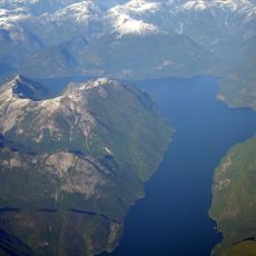
Jervis Inlet
42.2 km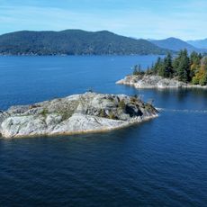
Whytecliff Park
46.9 km
Squamish River
51.1 km
Smuggler Cove Marine Provincial Park
17.3 km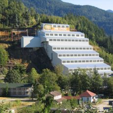
Britannia Mines Concentrator
43 km
Jedediah Island Marine Provincial Park
32.7 km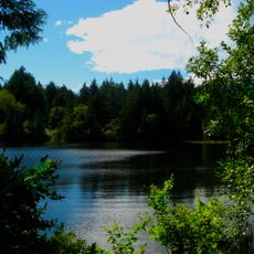
Murrin Provincial Park
42.7 km
Skookumchuck Narrows Provincial Park
14.1 km
Stawamus Chief Provincial Park
47.8 km
Mount Elphinstone Provincial Park
26.1 km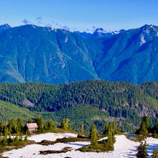
Tetrahedron Provincial Park
16.1 km
Lighthouse Pub
17.2 km
Porpoise Bay Provincial Park
14.6 km
Cowichan
26.9 km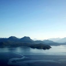
Plumper Cove Marine Provincial Park
35.1 km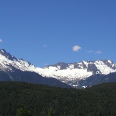
Tantalus Provincial Park
43.8 km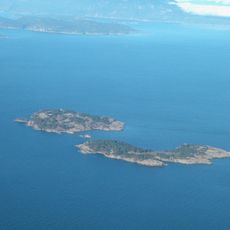
Ballenas Island Light
40.9 km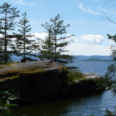
Saltery Bay Provincial Park
34.3 km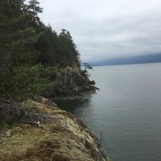
Apodaca Provincial Park
45.5 km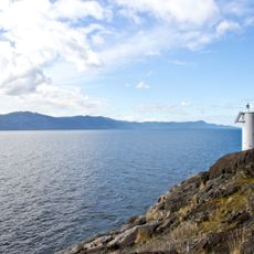
Francis Point Provincial Park
18.7 km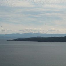
South Texada Island Provincial Park
29.7 km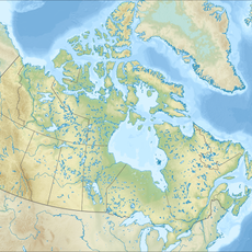
Princess Royal Reach
44.8 km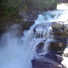
Ashlu Falls
46.1 km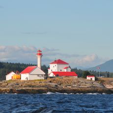
Entrance Island Lighthouse
47.2 km
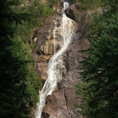
Shannon Falls
46.6 kmBewertungen
Diesen Ort besucht? Tippe auf die Sterne, um ihn zu bewerten und deine Erfahrung oder Fotos mit der Community zu teilen! Jetzt ausprobieren! Sie können jederzeit kündigen.
Entdecke verborgene Schätze auf jedem Abenteuer!
Von charmanten kleinen Cafés bis zu versteckten Aussichtspunkten – entfliehe dem Touristentrubel und finde Orte, die wirklich zu dir passen. Unsere App macht's dir leicht: Sprachsuche, clevere Filter, optimierte Routen und echte Geheimtipps von Reisenden weltweit. Jetzt runterladen und das Abenteuer mobil erleben!

Ein neuer Ansatz für touristische Entdeckungen❞
— Le Figaro
Alle Orte, die eine Entdeckung wert sind❞
— France Info
Ein maßgeschneiderter Ausflug mit nur wenigen Klicks❞
— 20 Minutes