
Ryan Provincial Park, provincial park in British Columbia, Canada
Ort: Regional District of East Kootenay
GPS Koordinaten: 49.13611,-116.03194
Neueste Aktualisierung: 7. Juni 2025 um 17:21
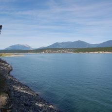
Lake Koocanusa
57.9 km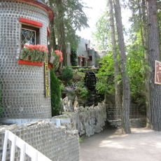
Glass House
59.6 km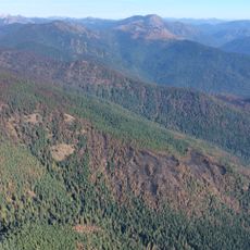
Salmo-Priest Wilderness
80.1 km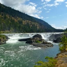
Kootenai Falls
78.3 km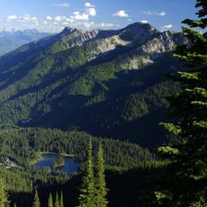
Island Lake Lodge
74.7 km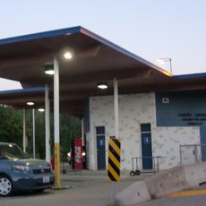
Porthill-Rykerts Border Crossing
37.3 km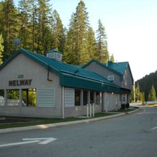
Metaline Falls-Nelway Border Crossing
93.7 km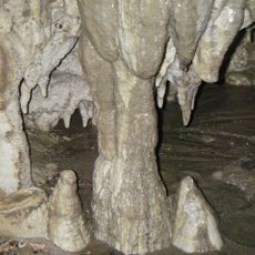
Cody Caves
93.6 km
Kokanee Creek Provincial Park
95.1 km
Kootenai National Wildlife Refuge
55 km
Moyie River Canyon Bridge
46.5 km
Top of the World Provincial Park
91.9 km
Fernie Formation
78.2 km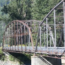
Theodore Roosevelt Memorial Bridge
74.9 km
Mount Fernie Provincial Park
78.1 km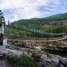
Kootenai Falls Swinging Bridge
78.4 km
Libby High School
90.4 km
Lockhart Beach Provincial Park
68.8 km
Kianuko Provincial Park
45.4 km
Pilot Bay Provincial Park
82.5 km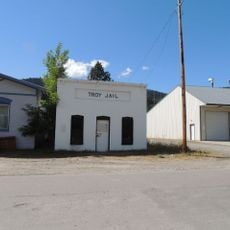
Troy Jail
75.7 km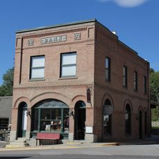
Farmers and Merchants State Bank
77 km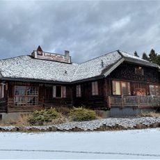
Eureka Community Hall
28.6 km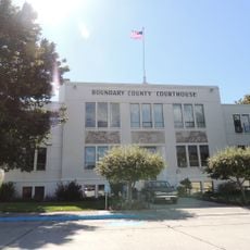
Boundary County Courthouse
53.1 km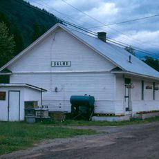
Salmo railway station
91.1 km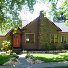
Russell and Pearl Soderling House
53.8 km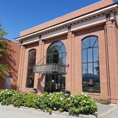
Canadian Museum of Rail Travel
45.7 km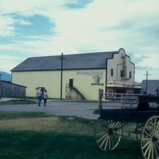
Wildhorse Theatre
60.8 kmBewertungen
Diesen Ort besucht? Tippe auf die Sterne, um ihn zu bewerten und deine Erfahrung oder Fotos mit der Community zu teilen! Jetzt ausprobieren! Sie können jederzeit kündigen.
Entdecke verborgene Schätze auf jedem Abenteuer!
Von charmanten kleinen Cafés bis zu versteckten Aussichtspunkten – entfliehe dem Touristentrubel und finde Orte, die wirklich zu dir passen. Unsere App macht's dir leicht: Sprachsuche, clevere Filter, optimierte Routen und echte Geheimtipps von Reisenden weltweit. Jetzt runterladen und das Abenteuer mobil erleben!

Ein neuer Ansatz für touristische Entdeckungen❞
— Le Figaro
Alle Orte, die eine Entdeckung wert sind❞
— France Info
Ein maßgeschneiderter Ausflug mit nur wenigen Klicks❞
— 20 Minutes