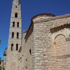
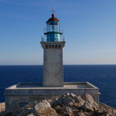
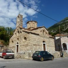
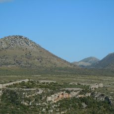
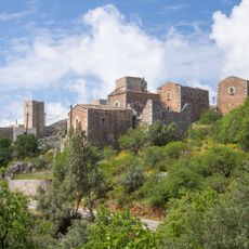
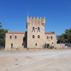
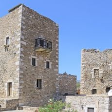
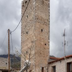
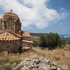
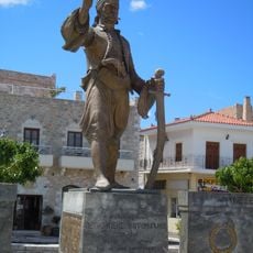
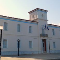
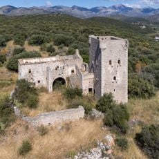
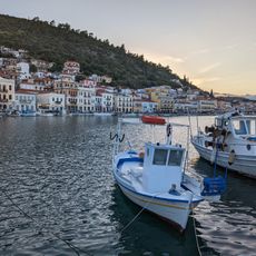
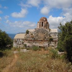
Municipality of East Mani, municipality of Greece
GPS Koordinaten: 36.63522,22.43982
Neueste Aktualisierung: 3. März 2025 um 03:11
Apidima
7.8 km
Tropfsteinhöhle bei Pyrgos Dirou
5.4 km
Monastery of Panayia Yiatrissa
24.3 km
Alepotrypa cave
5.1 km
Karyoupolis
4.8 km
Roman theatre of Gytheion
18 km
Kalamakia Cave
8.1 km
Church of Taxiarches, Areopoli
6.4 km
Cape Matapan lighthouse
28 km
Transfiguration of the Savior, Lankadas
18.7 km
Kelefa Castle
8.3 km
Church of Panagia and Agios Charalambos (Areopoli)
6.3 km
Aghia Varvara church
6.2 km
Gythio Lighthouse
18 km
Gytheion ancient polis
18 km
Tower of Kapetanakou - Areopoli
6.5 km
Agios Nikolaos (Lagia)
16.2 km
Towers in Lagia
17.2 km
Church of Sotira - Gardenitsa
12.3 km
Pyrgos Tzanetaki
17.8 km
Towers, Vatheia
20.4 km
Tower of Panteleakos
3 km
Church of Episkopis - Agiou Georgiou Kittas
12.6 km
Statue of Petrobey Mavromichalis, Areopoli
6.2 km
City hall of Gytheio
17.9 km
Tower of Tsikourios
10.2 km
Gytheion Port
17.8 km
Church of Vlachernas - Mezapos
12.1 kmDiesen Ort besucht? Tippe auf die Sterne, um ihn zu bewerten und deine Erfahrung oder Fotos mit der Community zu teilen! Jetzt ausprobieren! Sie können jederzeit kündigen.
Entdecke verborgene Schätze auf jedem Abenteuer!
Von charmanten kleinen Cafés bis zu versteckten Aussichtspunkten – entfliehe dem Touristentrubel und finde Orte, die wirklich zu dir passen. Unsere App macht's dir leicht: Sprachsuche, clevere Filter, optimierte Routen und echte Geheimtipps von Reisenden weltweit. Jetzt runterladen und das Abenteuer mobil erleben!
Ein neuer Ansatz für touristische Entdeckungen❞
— Le Figaro
Alle Orte, die eine Entdeckung wert sind❞
— France Info
Ein maßgeschneiderter Ausflug mit nur wenigen Klicks❞
— 20 Minutes