Agia, Gemeinde in Griechenland
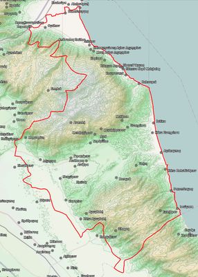
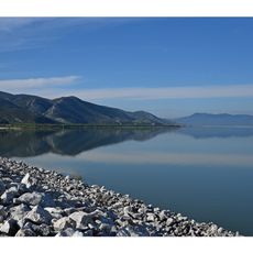
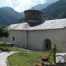
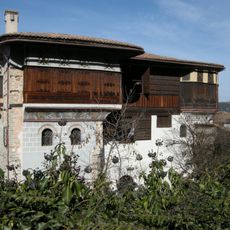
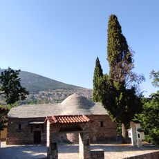
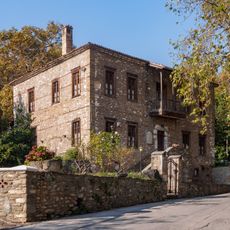
Die Gemeinde Agia ist eine Verwaltungseinheit in der Regionaleinheit Larissa in Thessalien, Griechenland. Sie umfasst mehrere Dörfer und Siedlungen inmitten von Hügeln und landwirtschaftlich genutzten Flächen.
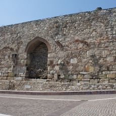
Agia wurde 1881 Teil des griechischen Staates, nachdem das Gebiet jahrzehntelang unter osmanischer Herrschaft gestanden hatte. Im Jahr 2011 wurde die Gemeinde mit drei benachbarten Gebieten zusammengelegt, um die lokale Verwaltung zu vereinfachen.
Agia ist bekannt für seine lokalen Feste, bei denen Musik, Essen und Tänze zusammenkommen und die Gemeinschaft verbinden. Diese Veranstaltungen folgen Traditionen, die von Generation zu Generation weitergegeben wurden und heute noch lebendig sind.
Das Gebiet lässt sich am besten mit dem eigenen Auto erkunden, da die öffentlichen Verkehrsverbindungen in diesem ländlichen Raum begrenzt sind. Es empfiehlt sich, wichtige Besorgungen in der Stadt Larissa zu erledigen, bevor man in die Gemeinde fährt, da die lokalen Einrichtungen einfach sind.
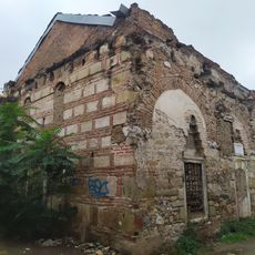
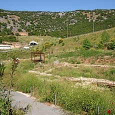
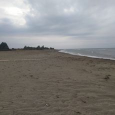
Im Jahr 2007 verwüsteten schwere Waldbrände große Teile des bewaldeten Gebiets rund um Agia und zwangen viele Einwohner zur vorübergehenden Evakuierung. Die verbrannten Hänge sind heute noch teilweise sichtbar und erinnern an das Ausmaß jenes Sommers.
Die Community neugieriger Reisender
AroundUs vereint tausende ausgewählte Orte, lokale Tipps und versteckte Schätze, täglich bereichert von über 60,000 Mitwirkenden weltweit.