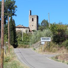
Talla, italienische Gemeinde
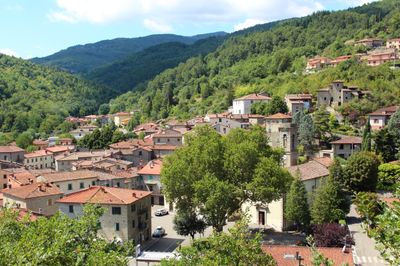
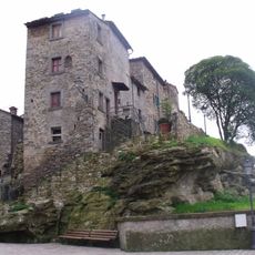
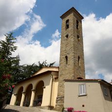
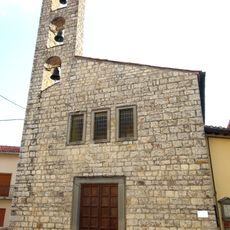
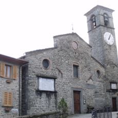
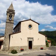
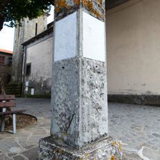
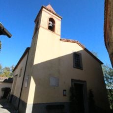
Talla ist eine kleine Gemeinde in der Provinz Arezzo in der Toskana mit etwa tausend Einwohnern. Die Stadt liegt auf sanften Hügeln und ist von dichten Wäldern aus Eichen, Kastanien und Fichten umgeben, mit engen Straßen und Steinhäusern aus verschiedenen Epochen.
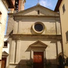
Die Region wurde bereits in etruskischer Zeit besiedelt, wie archäologische Funde zeigen, die über zwei Jahrtausende zurückgehen. Das heutige Talla entstand in der Renaissance und wuchs während der folgenden Jahrhunderte unter wechselnder Herrschaft von Arezzo und Florenz.
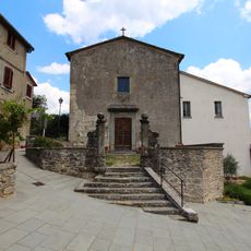
Der Name Talla stammt aus der etruskischen Zeit und zeigt tiefe Wurzeln in der Region. Die Dorfbewohner pflegen noch heute lokale Traditionen wie Herbstfeste mit Kastanien und traditionelle Speisen aus regionalen Produkten.
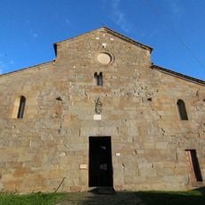
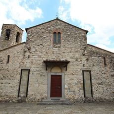
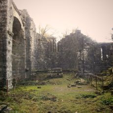
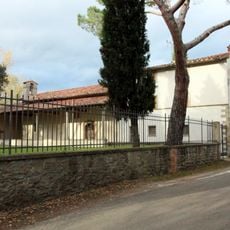
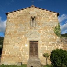
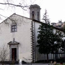
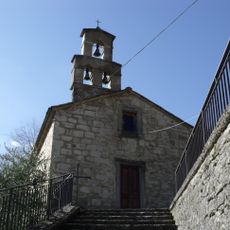
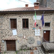
Besucher finden auf lokalen Bauernhöfen und kleinen Gästehäusern Unterkunft, viele davon haustierfreundlich. Die beste Zeit zum Erkunden ist bei gemäßigtem Wetter, und es gibt Wanderwege durch die Wälder und zu historischen Stätten wie der Abtei Santa Trinita.
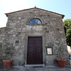
Der Ort wird mit Guido Monaco verbunden, einer wichtigen Figur aus dem Jahr 996, der die moderne Musiknotation erfand, die noch heute verwendet wird. Ein kleines Museum in der Stadt bewahrt Artefakte, die an seinen revolutionären Beitrag zur Musikgeschichte erinnern.
Die Community neugieriger Reisender
AroundUs vereint tausende ausgewählte Orte, lokale Tipps und versteckte Schätze, täglich bereichert von über 60,000 Mitwirkenden weltweit.