
Panamao, Gemeinde auf den Philippinen
Ort: Sulu
Höhe über dem Meer: 49 m
Grenzt an: Patikul, Luuk
GPS Koordinaten: 5.98333,121.25000
Neueste Aktualisierung: 8. März 2025 um 15:15
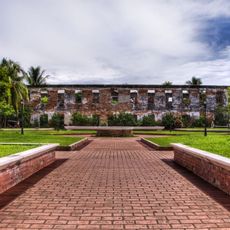
Fort Pilar
137.5 km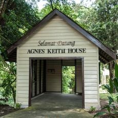
Agnes Keith House
347.3 km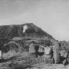
Bud Dajo
21.7 km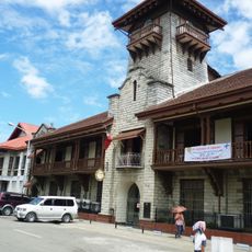
Zamboanga City Hall
137.3 km
Tabin-Wildreservat
298.9 km
Skull Hill, Malaysia
338.2 km
Pasonanca Natural Park
152.1 km
Isabela Cathedral
113.3 km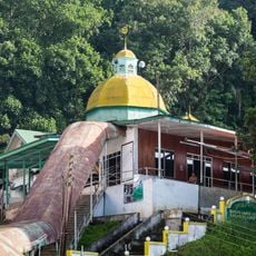
Sandakan Jamek Mosque
347.1 km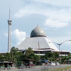
Sandakan District Mosque
345.9 km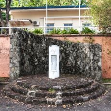
Sandakan War Monument
347.4 km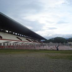
Joaquin F. Enriquez Memorial Stadium
136.9 km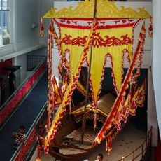
Tun Sakaran Museum
338 km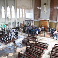
Kathedrale von Jolo
28.6 km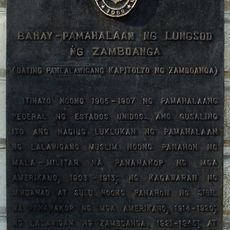
Zamboanga City Hall historical marker
137.3 km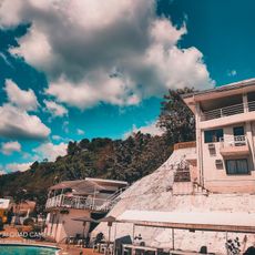
Alindahaw Lakeview Resort
298.6 km
Pagadian Cathedral
317.1 km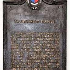
Taluksangay Mosque historical marker
149 km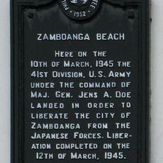
Zamboanga Beach historical marker
134.8 km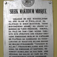
Sheik Karimol Makhdum Mosque
196.7 km
Sheik Makhdum Mosque historical marker
196.7 km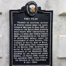
Fort Pilar historical marker
137.5 km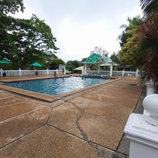
Monte Verde Resort
149.5 km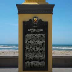
Kipit quincentennial historical marker
269.4 km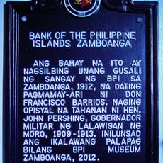
Bank of the Philippine Islands Zamboanga historical marker
137.4 km
Wasag Beach
323.4 km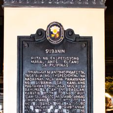
Subanin quincentennial historical marker
136.8 km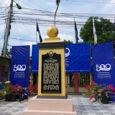
Cawit quincentennial historical marker
134.7 kmBewertungen
Diesen Ort besucht? Tippe auf die Sterne, um ihn zu bewerten und deine Erfahrung oder Fotos mit der Community zu teilen! Jetzt ausprobieren! Sie können jederzeit kündigen.
Entdecke verborgene Schätze auf jedem Abenteuer!
Von charmanten kleinen Cafés bis zu versteckten Aussichtspunkten – entfliehe dem Touristentrubel und finde Orte, die wirklich zu dir passen. Unsere App macht's dir leicht: Sprachsuche, clevere Filter, optimierte Routen und echte Geheimtipps von Reisenden weltweit. Jetzt runterladen und das Abenteuer mobil erleben!

Ein neuer Ansatz für touristische Entdeckungen❞
— Le Figaro
Alle Orte, die eine Entdeckung wert sind❞
— France Info
Ein maßgeschneiderter Ausflug mit nur wenigen Klicks❞
— 20 Minutes