Tâmega, Flusssystem in Galicien und Nordportugal
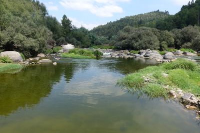
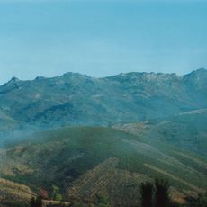
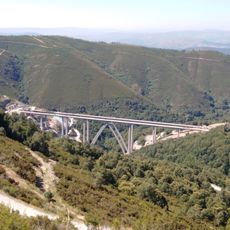
The Tâmega River flows from the Spanish region of Galicia through northern Portugal, passing through towns like Chaves, Amarante, and Marco de Canaveses on its path toward the Douro. The valley it creates contains three large dams built for power generation, shaping both the landscape and how water moves through the region.
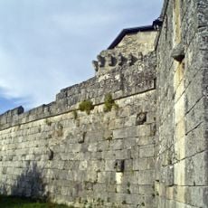
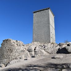
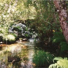
The river has served as a natural boundary and passage between Spanish and Portuguese territories for centuries, with military forces moving through the valley during conflicts. The construction of dams in recent decades transformed it from a wild waterway into a controlled source of energy for the region.
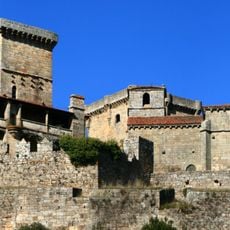
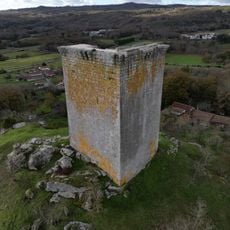
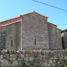
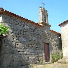
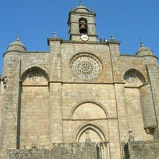
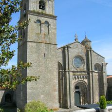
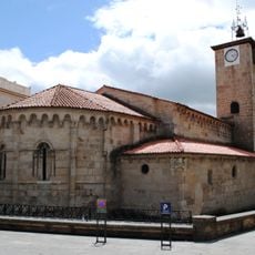
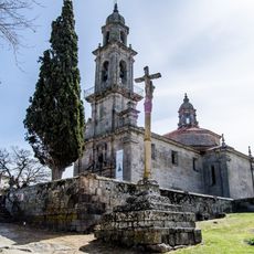
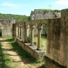
The Roman bridge Ponte de Trajano (Aquae Flaviae) is the most visible reminder of ancient times along the river, built when the Romans controlled this region. Visitors walking through the valley can see how this structure remains part of the landscape, connecting communities the way it did nearly two thousand years ago.
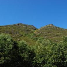
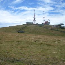
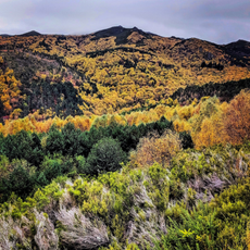
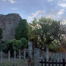
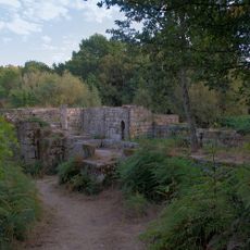
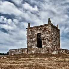
The river valley can be explored from various points along its course, with access near the main towns it flows through. The dams create large water surfaces where the landscape changes noticeably, and paths near the dams offer good viewpoints of the valley and water systems.
The dams here produce about six percent of Portugal's electricity through their water systems, making it a major power source for the country. Few visitors realize that this quiet river valley plays such a large role in powering homes and cities across the nation.
Die Community neugieriger Reisender
AroundUs vereint tausende ausgewählte Orte, lokale Tipps und versteckte Schätze, täglich bereichert von über 60,000 Mitwirkenden weltweit.