
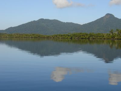
Lagamar de Cananéia State Park, State Park in São Paulo, Brazil
Ort: São Paulo
Gründung: 2008
GPS Koordinaten: -25.01402,-48.16864
Neueste Aktualisierung: 4. März 2025 um 08:52
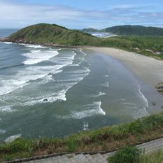
Ilha do Mel
58 km
Ilha do Cardoso State Park
27.1 km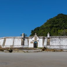
Fortaleza de Nossa Senhora dos Prazeres
57.2 km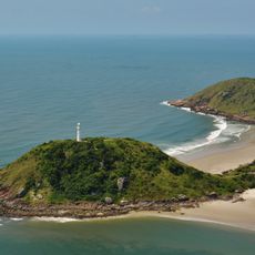
Ilha do Mel State Park
62.1 km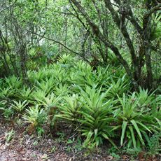
Superagüi National Park
36 km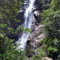
Guaraqueçaba Environmental Protection Area
33.6 km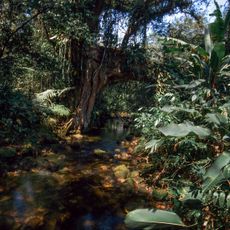
Salto Morato Private Natural Heritage Reserve
21.2 km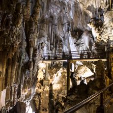
Caverna do Diabo State Park
48.9 km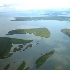
Guaraqueçaba Ecological Station
38.4 km
Jacupiranga State Park
24.4 km
Cananéia-Iguape e Peruíbe Environmental Protection Area
35.3 km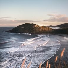
Ilha do Mel Ecological Station
58 km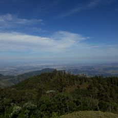
Cajati Environmental Protection Area
24 km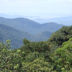
Serra do Mar Ecological Corridor
58 km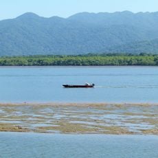
Ilha Comprida Environmental Protection Area
50.5 km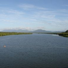
Jacupiranga Mosaic
16.5 km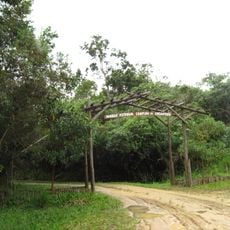
Campina do Encantado State Park
57.3 km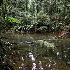
Sebuí Private Natural Heritage Reserve
29.3 km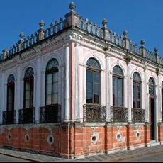
Casa Elfrida Lobo
65.9 km
Quilombos do Médio Ribeira Environmental Protection Area
53.6 km
Farol das Conchas
59.7 km
Kaigai Koygyo Kabushiki Kaisha
67.3 km
Igreja Matriz de Cananéia
24.3 km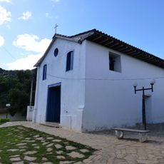
Capela Nossa Senhora do Rosário dos Homens Pretos
48.8 km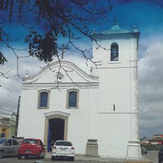
Igreja da Irmandade de São Benedito
66.3 km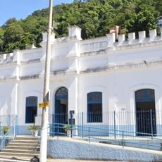
Historic center of Cananeia
24.3 km
Quilombo Mandira
25 km
Historic center of Iporanga
64.2 kmDiesen Ort besucht? Tippe auf die Sterne, um ihn zu bewerten und deine Erfahrung oder Fotos mit der Community zu teilen! Jetzt ausprobieren! Sie können jederzeit kündigen.
Entdecke verborgene Schätze auf jedem Abenteuer!
Von charmanten kleinen Cafés bis zu versteckten Aussichtspunkten – entfliehe dem Touristentrubel und finde Orte, die wirklich zu dir passen. Unsere App macht's dir leicht: Sprachsuche, clevere Filter, optimierte Routen und echte Geheimtipps von Reisenden weltweit. Jetzt runterladen und das Abenteuer mobil erleben!

Ein neuer Ansatz für touristische Entdeckungen❞
— Le Figaro
Alle Orte, die eine Entdeckung wert sind❞
— France Info
Ein maßgeschneiderter Ausflug mit nur wenigen Klicks❞
— 20 Minutes