Fontanafredda, italienische Gemeinde
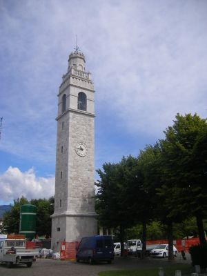
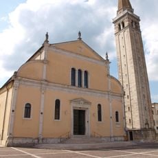
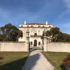
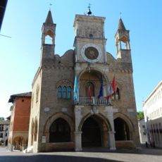
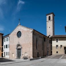
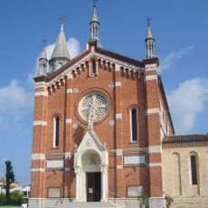
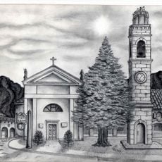
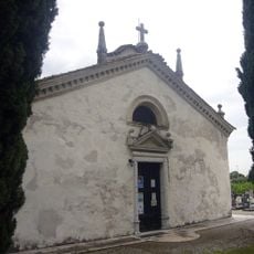
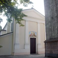
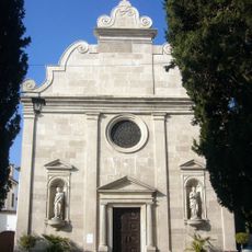
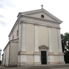
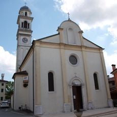
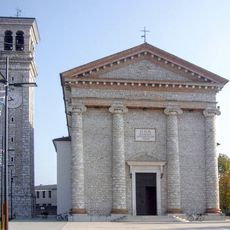
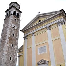
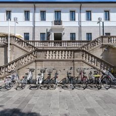
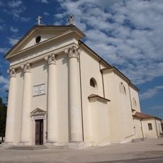
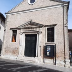
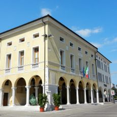
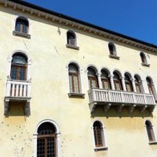
Fontanafredda ist eine kleine italienische Gemeinde in der Region Pordenone im Nordosten des Landes. Die Stadt hat eine gemischte Architektur mit älteren Steinbauten aus dem 19. Jahrhundert neben moderneren Gebäuden und verfügt über öffentliche Plätze, die als Treffpunkte dienen.
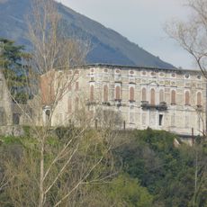
Der Ort wurde erstmals im späten 12. Jahrhundert unter dem Namen Fontanafrigida schriftlich erwähnt und entwickelte sich aus einem agrarischen Zentrum in der römischen Antike. Über die Jahrhunderte hinweg wuchs die Gemeinde durch die Konzentration von Handwerk und lokaler Wirtschaft.
Der Ortsname Fontanafredda bezieht sich auf die kalten Quellen, die die Gegend durchziehen. Das tägliche Leben dreht sich um Familie, Nachbarschaft und lokale Traditionen, die über Generationen weitergegeben werden.
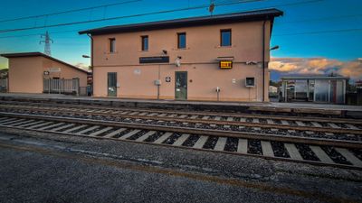
Der Ort ist leicht zu Fuß oder mit dem Auto zu durchqueren, da die einfache Grundrissplanung es Besuchern ermöglicht, in gemächlichem Tempo herumzulaufen. Die Infrastruktur ist zugänglich mit Geschäften, öffentlichen Ämtern und Freizeiteinrichtungen wie einem Schwimmbad.
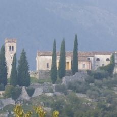
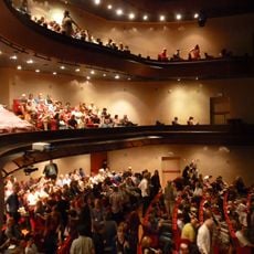
Ein lokales Fest mit besonderen Traditionen wird regelmäßig in der Stadt veranstaltet, während die umliegenden Weinberge und Bauernhöfe das ganze Jahr über Besucher einladen. Es ist möglich, während der Weinlese im Herbst Trauben zu pflücken und direkt vor Ort gekelterten Wein zu kosten.
Die Community neugieriger Reisender
AroundUs vereint tausende ausgewählte Orte, lokale Tipps und versteckte Schätze, täglich bereichert von über 60,000 Mitwirkenden weltweit.