
Frenštátský topol, memorable tree in Nový Jičín District, Czech Republic
Höhe: 25 m
GPS Koordinaten: 49.54850,18.21487
Neueste Aktualisierung: 30. Mai 2025 um 22:46
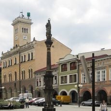
Town hall in Frenštát pod Radhoštěm
281 m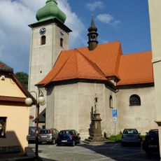
Church of Saint Martin in Frenštát pod Radhoštěm
287 m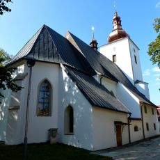
Church of Saint John the Baptist in Frenštát pod Radhoštěm
182 m
Church of Saint Nicholas
2.5 km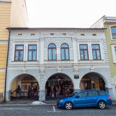
Dům čp. 2
286 m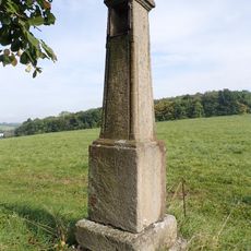
Boží muka
1.5 km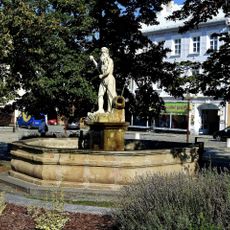
Fountain with a statue of Neptune
257 m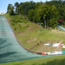
Areal Horečky HS105
1.6 km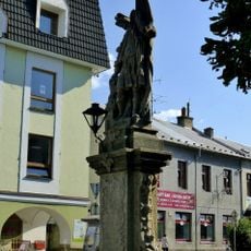
Statue of Saint Florian in Frenštát pod Radhoštěm
235 m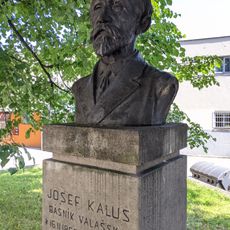
Pomník Josefa Kaluse
278 m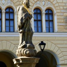
Statue of John of Nepomuk in Frenštát pod Radhoštěm
253 m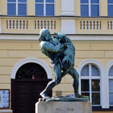
Sousoší Boj o život
255 m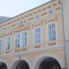
Náměstí Míru 4
293 m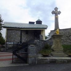
New church of Saint Nicholas
2.5 km
Náměstí Míru 16
261 m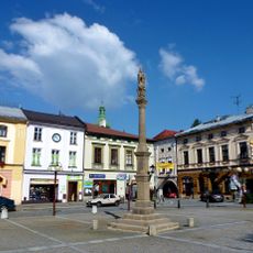
Maria column in Frenštát pod Radhoštěm
270 m
Dolní 9
323 m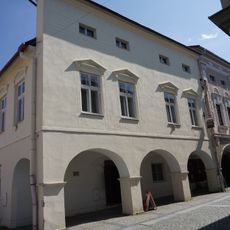
Dům čp. 15
270 m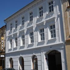
Náměstí Míru 18
242 m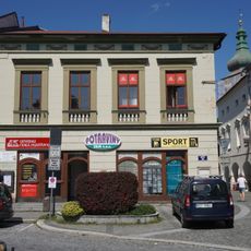
Náměstí Míru 14
282 m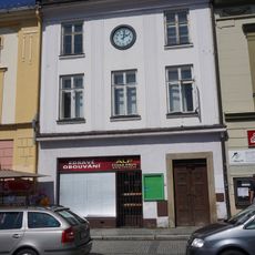
Náměstí Míru 13
284 m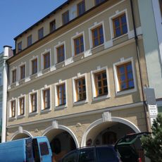
Náměstí Míru 21
213 m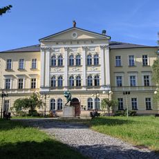
Bývalá měšťanská chlapecká škola
271 m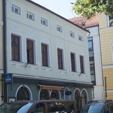
Dům čp. 31 a čp. 34
247 m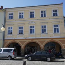
Náměstí Míru 6
302 m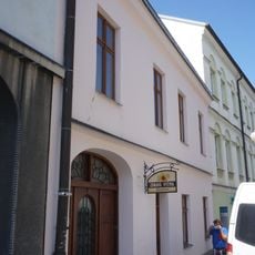
Dolní 8
317 m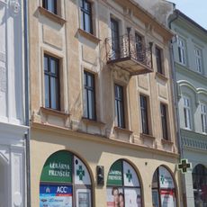
Náměstí Míru 19
234 m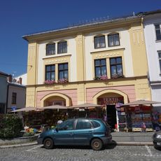
Náměstí Míru 12
293 mBewertungen
Diesen Ort besucht? Tippe auf die Sterne, um ihn zu bewerten und deine Erfahrung oder Fotos mit der Community zu teilen! Jetzt ausprobieren! Sie können jederzeit kündigen.
Entdecke verborgene Schätze auf jedem Abenteuer!
Von charmanten kleinen Cafés bis zu versteckten Aussichtspunkten – entfliehe dem Touristentrubel und finde Orte, die wirklich zu dir passen. Unsere App macht's dir leicht: Sprachsuche, clevere Filter, optimierte Routen und echte Geheimtipps von Reisenden weltweit. Jetzt runterladen und das Abenteuer mobil erleben!

Ein neuer Ansatz für touristische Entdeckungen❞
— Le Figaro
Alle Orte, die eine Entdeckung wert sind❞
— France Info
Ein maßgeschneiderter Ausflug mit nur wenigen Klicks❞
— 20 Minutes